
 United Kingdom
 France
 Germany
 Netherlands
 Sweden
 USA
USA
 Italy
Italy
 Spain
Spain
More From Contributor


Doncaster South 1928
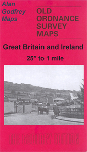
Doncaster South in 1928 in a fascinating series of reproductions of old Ordnance Survey plans in the Alan Godfrey Editions, ideal for anyone interested in the history of their neighbourhood or family. Two versions have been published for this area, including part of the town centre and the area to the south. Coverage stretches from Priory Place and the station southward to Balby Road and Carr Hill, and from Kirk Street and Stone Close Avenue eastward to Carr House. Features include the railway station and its southern approaches, including the GNR (later LNER) locomotive and carriage works, St James Bridge station, Cherrytree Goods Station, Danum Wagon Works, cattle pens, LNER offices, Balby Road Bridge, Hexthorpe Junction, Bridge Junction, South Yorkshire Junction, and the
north end of two engine sheds, also tramways, Belmont Works, cemetery, St James church, Cleveland Street, Station Road, Printing Office Street, Hyde Park, Beechfield Park, Hall Gate, Museum, Scarborough Barracks, Elmfield Park, Glasgow Paddocks, Belle Vue Stables, etc. Directory extracts are on the reverse; those for the 1928 map include private residents from the 1922 directory, entries I to ZAbout the Alan Godfrey Editions of the 25” OS Series:Selected towns in Great Britain and Ireland are covered by maps showing the extent of urban development in the last decades of the 19th and early 20th century. The plans have been taken from the Ordnance Survey mapping and reprinted at about 15 inches to one mile (1:4, 340). On the reverse most maps have historical notes and many
also include extracts from contemporary directories. Most maps cover about one mile (1.6kms) north/south, one and a half miles (2.4kms) across; adjoining sheets can be combined to provide wider coverage.FOR MORE INFORMATION AND A COMPLETE LIST OF ALL AVAILABLE TITLES PLEASE CLICK ON THE SERIES LINK.

Product Description
Reviews/Comments
Add New
Intelligent Comparison
Archived Product
Doncaster South 1901 Stanfords
£3.50
Archived Product

Doncaster North 1929 Stanfords
£3.50
Archived Product

Lancaster South 1910 Stanfords
£3.50
Archived Product

Doncaster North 1903 Stanfords
£3.50
Archived Product

Dover South 1897 Stanfords
£3.50
Archived Product
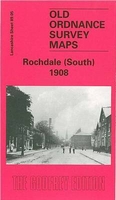
Rochdale South 1908 Stanfords
£3.50
Archived Product
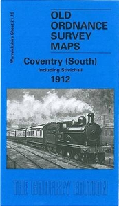
Coventry South 1912 Stanfords
£3.50
Archived Product
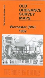
Worcester South-West 1902 Stanfords
£3.50
Vouchers
No voucher codes found.
Do you know a voucher code for this product or supplier? Add it to Insights for others to use.
Do you know a voucher code for this product or supplier? Add it to Insights for others to use.
 Denmark