
 United Kingdom
 France
 Germany
 Netherlands
 Sweden
 USA
USA
 Italy
Italy
 Spain
Spain
More From Contributor


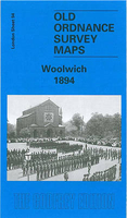
Woolwich 1894
Woolwich in 1894 in a fascinating series of reproductions of old Ordnance Survey plans in the Alan Godfrey Editions, ideal for anyone interested in the history of their neighbourhood or family. Three versions for this area have been published, stretching from Maryon Road and Wood Street eastward to Earl Street and Waverley Road, and from St Mary`s church and Powis Street southward to Woolwich Common and Nightingale Vale. The map covers the centre of Woolwich, the area around the Royal Artillery Barracks, and west Plumstead. Please note that the Dockyard and Royal Arsenal areas were left blank for security reasons. Features include Red Barracks, Cambridge Barracks, Royal Artillery Barracks, Royal Military Repository, Charlton Cemetery, Grand Depot Barracks, both Woolwich
stations, tramways, St George`s church, St Margaret`s Plumstead church, Burrage Town, Brookhill Park, Barrack Field, Naval Hospital, Royal Marine Barracks, etc. Street directory entries are on the 1894 map include Burrage Road, Herbert Road, New Road, Plumstead Common Road, Powis Street and Wellington Street. About the Alan Godfrey Editions of the 25” OS Series:Selected towns in Great Britain and Ireland are covered by maps showing the extent of urban development in the last decades of the 19th and early 20th century. The plans have been taken from the Ordnance Survey mapping and reprinted at about 15 inches to one mile (1:4, 340). On the reverse most maps have historical notes and many also include extracts from contemporary directories. Most maps cover about one mile
(1.6kms) north/south, one and a half miles (2.4kms) across; adjoining sheets can be combined to provide wider coverage.FOR MORE INFORMATION AND A COMPLETE LIST OF ALL AVAILABLE TITLES PLEASE CLICK ON THE SERIES LINK.

Product Description
Reviews/Comments
Add New
Intelligent Comparison
Archived Product
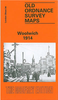
Woolwich 1914 Stanfords
£3.50
Archived Product
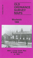
Woolwich 1866 Stanfords
£3.50
Archived Product

North Woolwich 1894 Stanfords
£3.50
Archived Product
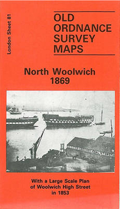
North Woolwich 1869 Stanfords
£3.50
Archived Product

North Woolwich 1914 Stanfords
£3.50
Archived Product
Elswick 1894 Stanfords
£3.50
Vouchers
No voucher codes found.
Do you know a voucher code for this product or supplier? Add it to Insights for others to use.
Do you know a voucher code for this product or supplier? Add it to Insights for others to use.
 Denmark