
 United Kingdom
 France
 Germany
 Netherlands
 Sweden
 USA
USA
 Italy
Italy
 Spain
Spain
More From Contributor


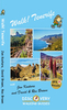
Walk! Menorca
Walk! Menorca is a 'GPS Ready' walking guidebook detailing thirty five routes across the island. Ratings are given for the difficulty levels, time, distance, ascent/descent, refreshment and vertigo risks for each hike listed. Access details by car or public transport are provided for each route, although, to get the most out of the island, you are recommended to set out on foot. Maps are displayed cut into manageable and readable sections, relevant to the text description on adjacent pages. Now in its 2nd edition, Walk! Menorca features new walks and updated information on aknowledged routes such as the reopening of the Cami de Cavalls and the closure of the Lluc al Lari fort and access lanes.
Product Description
Reviews/Comments
Add New
Intelligent Comparison
Archived Product
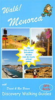
Walk! Menorca Stanfords
£12.99
Archived Product
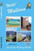
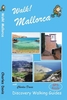
Walk! Mallorca Stanfords
£12.99
Archived Product
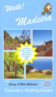
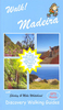
Walk! Madeira Stanfords
£12.99
Vouchers
No voucher codes found.
Do you know a voucher code for this product or supplier? Add it to Insights for others to use.
Do you know a voucher code for this product or supplier? Add it to Insights for others to use.
 Denmark