
 United Kingdom
 France
 Germany
 Netherlands
 Sweden
 USA
USA
 Italy
Italy
 Spain
Spain
More From Contributor


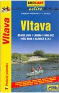
Vltava
A5 size, 72-page guide-booklet for use in navigating the Vltava river between Borova Lada and Hluboka. The route is covered by 13 1:50, 000 scale maps. All text is in Czech only, but the map legend includes English translation.Detail includes locks, bridges, distance indicators, water guages, marinas, rapids, danger points, facilities eg. hostels, grocers & campsites, as well as roads, landmarks and attractions. Lock and weir diagrams are also included.

Product Description
Reviews/Comments
Add New
Vouchers
No voucher codes found.
Do you know a voucher code for this product or supplier? Add it to Insights for others to use.
Do you know a voucher code for this product or supplier? Add it to Insights for others to use.
 Denmark