
 United Kingdom
 France
 Germany
 Netherlands
 Sweden
 USA
USA
 Italy
Italy
 Spain
Spain
More From Contributor


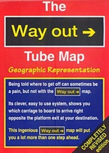
The Way Out Tube Map
The Way Out Tube Map from Drumhouse, indicating which carriage to board to arrive next to exits and/or interchanges, plus presenting the network in a geographical representation to show stations which are within easy walking distance of each other.On one side is central London, the most visited part of the city, with the Underground network overprinted on a map showing just principal streets and main sights. Each station is annotated to show which carriage to board, separately for each direction of travel, to arrive next to the exit or the interchange(s) for connecting lines.On the reverse the rest of the network is shown with similar information on a base map showing just the North and South Circular roads and main routes out of London. London’s Overground network is not
included.Also provided are useful telephone numbers for enquiries about rail and air travel, lost credit cards, emergency services, etc. Current edition of this title was published in 2011.
included.Also provided are useful telephone numbers for enquiries about rail and air travel, lost credit cards, emergency services, etc. Current edition of this title was published in 2011.

Product Description
Reviews/Comments
Add New
Intelligent Comparison
Archived Product

The Way Out Tube Map Stanfords
£1.95
Vouchers
No voucher codes found.
Do you know a voucher code for this product or supplier? Add it to Insights for others to use.
Do you know a voucher code for this product or supplier? Add it to Insights for others to use.
 Denmark