
 United Kingdom
 France
 Germany
 Netherlands
 Sweden
 USA
USA
 Italy
Italy
 Spain
Spain
More From Contributor


The Times Atlas Of Britain
The Times Atlas of Britain is a national reference atlas of England, Scotland, Wales and Northern Ireland with authoritative current cartography of the countries and relevant additional geographical information. This is the first comprehensive national atlas of Britain to be published for more than 40 years.Reference maps, statistics, photographic and illustrative images, and historical mapping are included alongside comprehensive contemporary cartographic coverage of England, Scotland, Wales and Northern Ireland. The atlas is comprised of 160 pages of Times reference mapping, 17 city centre maps, 450 photographic images, 90 historical maps and over 100, 000 words of explanatory and descriptive text. Pages on each country contain modern map cartography in the Times mapping style,
the national flag/crest, at a glance statistics, photographs, historical maps of counties from the Bartholomew archive with descriptions from John Bartholomew
the national flag/crest, at a glance statistics, photographs, historical maps of counties from the Bartholomew archive with descriptions from John Bartholomew
Product Description
Reviews/Comments
Add New
Intelligent Comparison
Archived Product
The Times Atlas Of Britain Stanfords
£30.00
Archived Product

The Tribes Of Britain Stanfords
£12.99
Archived Product
The Taste Of Britain Stanfords
£25.00
Archived Product
The Secrets Of Britain Stanfords
£20.00
Archived Product

The Ballad Of Britain Stanfords
£12.99
Archived Product

The Battle Of Britain Stanfords
£7.99
Archived Product

The Battle Of Britain Stanfords
£9.99
Archived Product
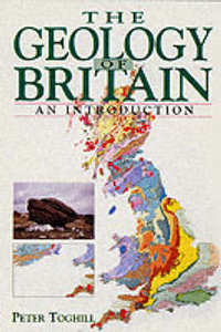
The Geology Of Britain Stanfords
£16.99
Vouchers
No voucher codes found.
Do you know a voucher code for this product or supplier? Add it to Insights for others to use.
Do you know a voucher code for this product or supplier? Add it to Insights for others to use.
 Denmark