
 United Kingdom
 France
 Germany
 Netherlands
 Sweden
 USA
USA
 Italy
Italy
 Spain
Spain
More From Contributor


The Rough Guide To Switzerland
The Rough Guide to Switzerland is the ultimate travel companion to this clean and idyllic country with detailed coverage of all the top attractions. From the medieval streets of Bern to the stunning views of Lake Geneva and the iconic Matterhorn to the best spots to enjoy sensational alpine scenery, discover Switzerland`s highlights inspired by dozens of colour photos. You`ll find practical advice on getting around by train, bus, boat and car whilst relying on up-to-date descriptions of the best hotels, bars, clubs, shops, restaurants and resorts for all budgets. The Rough Guide to Switzerland includes expert guidance on a host of outdoor activities, from summer hikes to skiing and snowboarding, colour sections on `cheese and chocolate` and `mountain excursions`, and a crucial
language section with basic words, phrases and handy tips for pronunciation. Explore every corner of Switzerland with clear maps and expert background on everything from the country`s folklore, music, alpine flora and fauna to the roots of Switzerland`s neutrality.
language section with basic words, phrases and handy tips for pronunciation. Explore every corner of Switzerland with clear maps and expert background on everything from the country`s folklore, music, alpine flora and fauna to the roots of Switzerland`s neutrality.
Product Description
Reviews/Comments
Add New
Intelligent Comparison
Archived Product
The Rough Guide To Scotland Stanfords
£13.99
Archived Product
The Rough Guide To Berlin Stanfords
£13.99
Archived Product

The Rough Guide To Guatemala Stanfords
£14.99
Archived Product
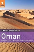
The Rough Guide To Oman Stanfords
£15.99
Archived Product

The Rough Guide To Peru Stanfords
£15.99
Archived Product
The Rough Guide To Chile Stanfords
£16.99
Archived Product
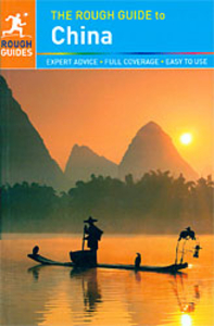
The Rough Guide To China Stanfords
£20.99
Archived Product

The Rough Guide To Istanbul Stanfords
£14.99
Vouchers
No voucher codes found.
Do you know a voucher code for this product or supplier? Add it to Insights for others to use.
Do you know a voucher code for this product or supplier? Add it to Insights for others to use.
 Denmark