
 United Kingdom
 France
 Germany
 Netherlands
 Sweden
 USA
USA
 Italy
Italy
 Spain
Spain
More From Contributor


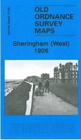
Sheringham West 1926
Sheringham West in 1926 in a fascinating series of reproductions of old Ordnance Survey plans in the Alan Godfrey Editions, ideal for anyone interested in the history of their neighbourhood or family. Selected towns in Great Britain and Ireland are covered by maps showing the extent of urban development in the last decades of the 19th and early 20th century.In this title: this detailed map covers the western half of Sheringham, on the north Norfolk coast. Features St Peter's church, Church Street, station, The Boulevard, Burlington Hotel, Grand Hotel, Skelding Hill, Holt Road, golf links, Franklin Hill. Open country is reached beyond Holt Road but Mace Hill and a small portion of Sheringham Park (including The Old House) are in the south-western corner. A list of private
residents from a 1929 directory is included on the reverse. About the Alan Godfrey Editions of the 25
residents from a 1929 directory is included on the reverse. About the Alan Godfrey Editions of the 25
Product Description
Reviews/Comments
Add New
Intelligent Comparison
Archived Product
Sheringham West 1926 Stanfords
£3.50
Archived Product
Sheringham East 1926 Stanfords
£2.95
Archived Product
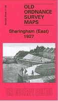
Sheringham East 1926 Stanfords
£3.50
Archived Product
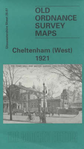
Cheltenham West 1921 Stanfords
£3.50
Archived Product
Birmingham West 1914 Stanfords
£3.50
Vouchers
No voucher codes found.
Do you know a voucher code for this product or supplier? Add it to Insights for others to use.
Do you know a voucher code for this product or supplier? Add it to Insights for others to use.
 Denmark