
 United Kingdom
 France
 Germany
 Netherlands
 Sweden
 USA
USA
 Italy
Italy
 Spain
Spain
More From Contributor


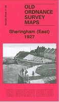
Sheringham East 1926
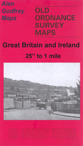
Sheringham East in 1926 in a fascinating series of reproductions of old Ordnance Survey plans in the Alan Godfrey Editions, ideal for anyone interested in the history of their neighbourhood or family. Selected towns in Great Britain and Ireland are covered by maps showing the extent of urban development in the last decades of the 19th and early 20th century.In this title: this detailed map covers the eastern half of Sheringham, and extends east to cover part of West Runton. Features include Promenade, High Street, Wyndham Street, Back Common, Sheringham House, St Joseph's RC church, Beeston Regis Hills, Beeston Regis Hall, West Runton station (at eastern margin), Runton Hill, Holy Trinity church. On the reverse is a 1929 commercial directory for Sheringham. About the Alan
Godfrey Editions of the 25
Godfrey Editions of the 25
Product Description
Reviews/Comments
Add New
Intelligent Comparison
Archived Product
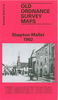
Sheringham East 1926 Stanfords
£3.50
Archived Product
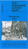
Sheringham West 1926 Stanfords
£2.95
Archived Product
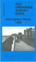
Sheringham West 1926 Stanfords
£3.50
Archived Product
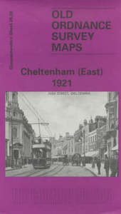
Cheltenham East 1921 Stanfords
£3.50
Archived Product
Birmingham East 1901 Stanfords
£3.50
Vouchers
No voucher codes found.
Do you know a voucher code for this product or supplier? Add it to Insights for others to use.
Do you know a voucher code for this product or supplier? Add it to Insights for others to use.
 Denmark