
 United Kingdom
 France
 Germany
 Netherlands
 Sweden
 USA
USA
 Italy
Italy
 Spain
Spain
More From Contributor

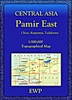
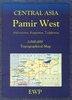


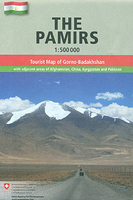
Pamirs
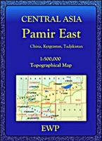
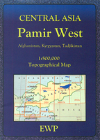
Pamir Mountains at 1:500, 000 in a series of maps of Tajikistan and the adjoining areas of the neighbouring countries, providing coverage from Samarkand to Kashgar. The maps have been produced under the auspices of the Swiss Agency for Development and Cooperation and each title includes information on the area’s culture, economy, history, etc.The maps have contours at 200m intervals, enhanced by relief shading, numerous spot heights, plus names of peaks and mountain passes. Road network includes dirt tracks and trekking routes are marked. Numerous population centres are finely graded according to the number of inhabitants. The maps also show local administrative boundaries.A wide range of symbols mark various places of interest and general facilities: cultural sites including
museums, shrines, archaeological sites, etc; natural sites such as caves, interesting geological formations, waterfalls and springs; general facilities including accommodation, bazaars, fuel supplies, information centres, border crossings, etc. The maps have a latitude and longitude grid as indicated in the individual descriptions.On the reverse each map has a description of the area, its history, culture, economy, ecology, etc. and includes a street plan of the main town. Map legend and all the text are in English. IN THIS TITLE: latitude grid lines at 20’ intervals, with longitude at 30’. On the reverse the extensive text about this area is supplemented street plans of Khorog and Murghab indicating various places of interest and facilities, plus an enlargement
showing in greater detail at 1:110, 000 the Savnob – Usoi Dam area west of Lake Sarez. Current edition of this map was revised in 2011.

Product Description
Reviews/Comments
Add New
Intelligent Comparison
Archived Product
Pamir East Stanfords
£9.95
Archived Product
Pamir West Stanfords
£9.95
Archived Product
Paris Stanfords
£3.99
Archived Product
Paris Stanfords
£86.99
Archived Product
Paris Stanfords
£5.50
Archived Product
Paris Stanfords
£4.99
Archived Product
Paris Stanfords
£10.39
Archived Product
Paris Stanfords
£15.95
Vouchers
No voucher codes found.
Do you know a voucher code for this product or supplier? Add it to Insights for others to use.
Do you know a voucher code for this product or supplier? Add it to Insights for others to use.
 Denmark