
 United Kingdom
 France
 Germany
 Netherlands
 Sweden
 USA
USA
 Italy
Italy
 Spain
Spain
More From Contributor


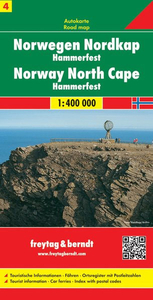
Norway North Cape - Hammerfest F&B
One of the titles in a series of detailed, indexed touring maps with plenty of tourist information. Southern Norway is shown at 1:250, 000, with the two northern sheets at 1:400, 000. Relief shading with spot heights indicates the terrain, with forested areas and natural features such as glaciers clearly marked. Road network includes private roads, toll routes, restrictions and winter closures, steep gradients, motorway service areas and accommodation, scenic routes, and intermediate driving distances on most roads. Railway network with stations and ferry connections are also marked.The maps also show large amount of tourist information: recreational facilities, places of interest, various types of accommodation, etc. Latitude and longitude grid is at intervals of 10’ on the
two southern maps and 30` in northern Norway. A separate booklet attached to the map cover has an index of localities. Map legend includes English.
two southern maps and 30` in northern Norway. A separate booklet attached to the map cover has an index of localities. Map legend includes English.

Product Description
Reviews/Comments
Add New
Intelligent Comparison
Archived Product
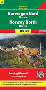
Norway North - Narvik F&B Stanfords
£10.99
Vouchers
No voucher codes found.
Do you know a voucher code for this product or supplier? Add it to Insights for others to use.
Do you know a voucher code for this product or supplier? Add it to Insights for others to use.
 Denmark