
 United Kingdom
 France
 Germany
 Netherlands
 Sweden
 USA
USA
 Italy
Italy
 Spain
Spain
More From Contributor


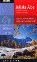
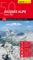
Julian Alps
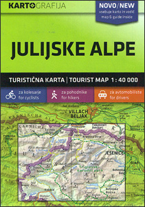
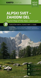
Julian Alps in a series of double-sided maps at 1:40, 000 from Kartografija in Ljubljana, accompanied by a 71-page bilingual Slovenian/English colour booklet with 42 pages of descriptions of the region’s numerous places of interest, plus brief descriptions of 44 recommended hiking trails and of 9 cycling routes, from 8.5km to 48km long and accompanied by route profiles.The maps in this series have contours at 20m intervals, enhanced by relief shading and graphics to provide a very effective picture of the topography. Waymarked hiking trails and cycling routes are prominently highlighted and cross-referenced to their descriptions in the accompanying guides. A wide range of symbols provide information on various types of accommodation (rural hotels, motels, farms, mountain huts,
campsites), recreational facilities, picturesque locations, etc. For drivers, locations of petrol stations are marked. Each map is double-sided, with a good overlap between the sides, and has latitude and longitude lines at 2’ intervals.The accompanying pocket guides are bilingual, Slovenian/English, with around 60 to 80 pages. Approximately half are descriptions of places of interest, illustrated by colour photos. Descriptions of hiking routes give timings and the degree of difficulty, as do notes for cycling routes which are also accompanied by route profiles. Also provided is a list of mountain huts. Map legends and all the text include English.
campsites), recreational facilities, picturesque locations, etc. For drivers, locations of petrol stations are marked. Each map is double-sided, with a good overlap between the sides, and has latitude and longitude lines at 2’ intervals.The accompanying pocket guides are bilingual, Slovenian/English, with around 60 to 80 pages. Approximately half are descriptions of places of interest, illustrated by colour photos. Descriptions of hiking routes give timings and the degree of difficulty, as do notes for cycling routes which are also accompanied by route profiles. Also provided is a list of mountain huts. Map legends and all the text include English.

Product Description
Reviews/Comments
Add New
Intelligent Comparison
Archived Product
Julian Alps Stanfords
£9.99
Archived Product
Julian Alps Stanfords
£9.99
Archived Product
Julian Alps Stanfords
£11.99
Archived Product
Julian Alps East Stanfords
£9.95
Archived Product
Julian Alps West Stanfords
£11.99
Vouchers
No voucher codes found.
Do you know a voucher code for this product or supplier? Add it to Insights for others to use.
Do you know a voucher code for this product or supplier? Add it to Insights for others to use.
 Denmark