
 United Kingdom
 France
 Germany
 Netherlands
 Sweden
 USA
USA
 Italy
Italy
 Spain
Spain
More From Contributor


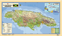
Jamaica Wall Map
Bright, attractive 122x70cm wallmap showing relief and including an inset political map of the Caribbean. Hill shading effectively shows the general relief, combined with altitude tinting. Rivers, marshes, canals and waterfalls are marked, mountain ranges are named and bathymetric tinting is applied to the surrounding sea. Principal roads and railways are drawn, and airports and lighthouses are marked. Major built-up areas are highlighted, towns are classified by symbols according to population, and county and parish boundaries are marked. Latitude and longitude lines are at 30’ intervals. An information panel shows some basic facts and population figures. While the map would be ideal for the classroom, it is professionally drawn and would look equally good in the office or
home.
home.

Product Description
Reviews/Comments
Add New
Intelligent Comparison
Archived Product
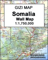
Somalia Wall Map Stanfords
£13.50
Archived Product

Jamaica Wall Map LAMINATED Stanfords
£31.70
Archived Product

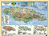
Bali Wall Map Stanfords
£14.99
Archived Product
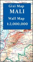
Mali Wall Map Stanfords
£13.50
Archived Product

Mauritania Wall Map Stanfords
£13.50
Archived Product
Australia Wall Map Stanfords
£18.95
Archived Product
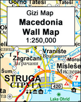
Macedonia Wall Map Stanfords
£13.50
Archived Product
Saudi Arabia Wall Map Stanfords
£13.50
Vouchers
No voucher codes found.
Do you know a voucher code for this product or supplier? Add it to Insights for others to use.
Do you know a voucher code for this product or supplier? Add it to Insights for others to use.
 Denmark