
 United Kingdom
 France
 Germany
 Netherlands
 Sweden
 USA
USA
 Italy
Italy
 Spain
Spain
More From Contributor


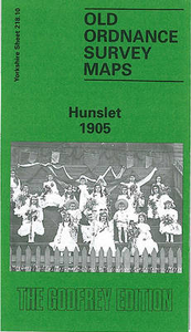
Hunslet 1905
Hunslet in 1905 in a fascinating series of reproductions of old Ordnance Survey plans in the Alan Godfrey Editions, ideal for anyone interested in the history of their neighbourhood or family. The map covers the Hunslet area of south Leeds. Coverage stretches from Lady Pit Lane eastward to Frog Hall Farm and Wakefield Road, and from Jack Lane and Hillidge Road southward to Hunslet Cemetery. Features include the Midland Railway running through the map, with station, sidings, connecting mineral lines; a stretch of the GNR Hunslet Branch; Leeds Steel Works, a major presence near the centre of the map; Hunslet Carr, with glass works and tannery; Woodhouse Hill; Stourton; Thwaite Gate, with Hunslet Forge; central Hunslet, incl St Mary`s church, Hunslet Chemical Works, Hunslet Paper
Mills and Old Mills, Crown Bottle Works, malthouses, tramways, etc. To the west, across Hunslet Moor, is the Dewsbury Road area of Hunslet. Extracts from street directories are on the reverse, including Balm Road, Church Street, Garnet Avenue/Grove/Place/Road/Terrace, Joseph Street and Low Road.About the Alan Godfrey Editions of the 25” OS Series:Selected towns in Great Britain and Ireland are covered by maps showing the extent of urban development in the last decades of the 19th and early 20th century. The plans have been taken from the Ordnance Survey mapping and reprinted at about 15 inches to one mile (1:4, 340). On the reverse most maps have historical notes and many also include extracts from contemporary directories. Most maps cover about one mile (1.6kms) north/south,
one and a half miles (2.4kms) across; adjoining sheets can be combined to provide wider coverage.FOR MORE INFORMATION AND A COMPLETE LIST OF ALL AVAILABLE TITLES PLEASE CLICK ON THE SERIES LINK.

Product Description
Reviews/Comments
Add New
Intelligent Comparison
Archived Product
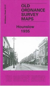
Hounslow 1935 Stanfords
£3.50
Vouchers
No voucher codes found.
Do you know a voucher code for this product or supplier? Add it to Insights for others to use.
Do you know a voucher code for this product or supplier? Add it to Insights for others to use.
 Denmark