
 United Kingdom
 France
 Germany
 Netherlands
 Sweden
 USA
USA
 Italy
Italy
 Spain
Spain
More From Contributor


Hawaii Easy-to-Read Rand McNally
Hawaii East-to-Read map from Rand McNally showing the islands on separate panels but all at the same scale of 1:260, 000 approx, with enlargements for Honolulu and Vicinity, Hilo, Kahului – Wailuku area, and the Hawaii Volcanoes National Park.The islands are presented on four separate panels: Oahu, Hawaii (The Big Island), Kauai with Niihau, plus Maui with Molokai, Lanai and Kahoolawe. Cartography differs from Rand McNally’s standard presentation in state maps, with bold altitude colouring and relief shading to show each island’s topography. Road network indicates unpaved roads and 4-WD tracks. National/state parks and forests are marked and symbols indicate various places of interest including campsites and beaches. The maps have no geographical coordinates. The index
includes separate lists of places of interest such as beaches, craters and parks. Also provided is a mileage chart, plus a map of the whole Hawaii archipelago including the islands of the Papahanaumokuakea Marine National Monument from Nihoa to the Midway Islands.For the specifications of other Rand McNally state maps please click on the series link.
includes separate lists of places of interest such as beaches, craters and parks. Also provided is a mileage chart, plus a map of the whole Hawaii archipelago including the islands of the Papahanaumokuakea Marine National Monument from Nihoa to the Midway Islands.For the specifications of other Rand McNally state maps please click on the series link.
Product Description
Reviews/Comments
Add New
Intelligent Comparison
Archived Product
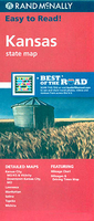
Kansas Easy-to-Read Rand McNally Stanfords
£6.99
Archived Product

Indiana Easy-to-Read Rand McNally Stanfords
£6.99
Archived Product
Missouri Easy-to-Read Rand McNally Stanfords
£6.99
Archived Product

Illinois Easy-to-Read Rand McNally Stanfords
£6.99
Archived Product
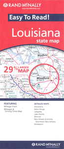
Louisiana Easy-to-Read Rand McNally Stanfords
£6.99
Archived Product
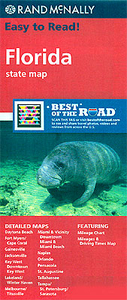
Florida Easy-to-Read Rand McNally Stanfords
£6.99
Archived Product
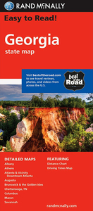
Georgia Easy-to-Read Rand McNally Stanfords
£6.99
Archived Product
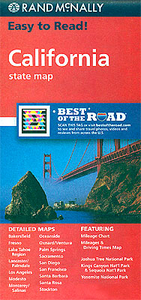
California Easy-to-Read Rand McNally Stanfords
£6.99
Vouchers
No voucher codes found.
Do you know a voucher code for this product or supplier? Add it to Insights for others to use.
Do you know a voucher code for this product or supplier? Add it to Insights for others to use.
 Denmark