
 United Kingdom
 France
 Germany
 Netherlands
 Sweden
 USA
USA
 Italy
Italy
 Spain
Spain
More From Contributor
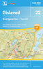


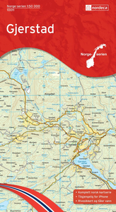
Gjerstad Nordeca 10011
Map No. 10011, Gjerstad, in the new topographic survey of Norway at 1:50, 000 covering the country on 195 double-sided sheets and first published by Nordeca in 2011 - 2012; fully GPS compatible, indicating waymarked footpaths, campsites, tourist huts, illuminated ski runs, etc.The maps, now published by Nordeca, the successors to Statens Kartverk and its subsequent owners the Ugland Group, are printed on light, waterproof and tear-resistant synthetic paper. Each map covers an area of 62x45 kilometres (39 x 28 miles approx.), with a 2-km overlap between the sheets. The maps have contours at 20m intervals (10m glacier contours), plus colouring and graphics to show cultivated areas, bogs, forests, etc. In addition to all the information expected of topographic mapping at this
scale the maps distinguish between waymarked and unmarked footpaths and show campsites, tourist huts (serviced/self service/no supplies), country hotels and restaurants, and illuminated ski trails. The series uses EUREF89 (WGS84) datum and the maps have a 1-km UTM grid. Map legend is in Norwegian and English. Each title comes in a sturdy protective card envelope.
scale the maps distinguish between waymarked and unmarked footpaths and show campsites, tourist huts (serviced/self service/no supplies), country hotels and restaurants, and illuminated ski trails. The series uses EUREF89 (WGS84) datum and the maps have a 1-km UTM grid. Map legend is in Norwegian and English. Each title comes in a sturdy protective card envelope.

Product Description
Reviews/Comments
Add New
Intelligent Comparison
Archived Product
Harstad Nordeca 10142 Stanfords
£23.99
Archived Product
Sortland Nordeca 10141 Stanfords
£23.99
Archived Product
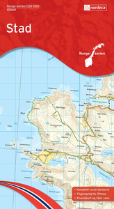
Stad Nordeca 10069 Stanfords
£23.99
Archived Product
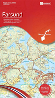
Farsund Nordeca 10001 Stanfords
£23.99
Archived Product
Tafjord Nordeca 10071 Stanfords
£23.99
Archived Product
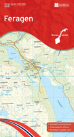
Feragen Nordeca 10081 Stanfords
£23.99
Archived Product
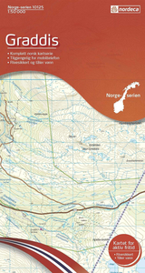
Graddis Nordeca 10125 Stanfords
£23.99
Archived Product
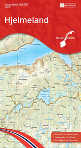
Hjelmeland Nordeca 10016 Stanfords
£23.99
Vouchers
No voucher codes found.
Do you know a voucher code for this product or supplier? Add it to Insights for others to use.
Do you know a voucher code for this product or supplier? Add it to Insights for others to use.
 Denmark