
 United Kingdom
 France
 Germany
 Netherlands
 Sweden
 USA
USA
 Italy
Italy
 Spain
Spain
More From Contributor
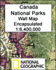


Canada NGS Executive Wall Map ENCAPSULATED
Canada on the NGS Executive style wall map, size: 97 x 81cm (38” x 32” approx) - encapsulated version, showing the country at 1:6, 400, 000 in an elegant presentation reminiscent of antique maps. Provinces are in muted colours, with seas and lakes in beige.The base map has relief shading to show the Rocky Mountains, plus plenty of names of geographical features: individual mountain chains, peaks, rivers and lakes, bays and sea channels, etc. Elevation is in metres, with the highest provincial peaks also shown in feet. National Parks are highlighted. The map shows the network of main roads and railways and indicates local airports with regular air or sea plane service, particularly in the more remote parts of the country. Also marked are oil fields and pipelines. Latitude and
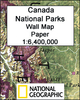
longitude lines are drawn at 5°.* This map is also available on paper without the encapsulation.
longitude lines are drawn at 5°.* This map is also available on paper without the encapsulation.

Product Description
Reviews/Comments
Add New
Intelligent Comparison
Archived Product

China NGS Executive Wall Map ENCAPSULATED Stanfords
£17.99
Archived Product

Italy NGS Executive Wall Map ENCAPSULATED Stanfords
£17.99
Archived Product
China NGS Executive Style Wall Map ENCAPSULATED Stanfords
£19.95
Archived Product
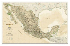
Mexico NGS Executive Wall Map ENCAPSULATED Stanfords
£17.99
Archived Product
North America NGS Executive Wall Map ENCAPSULATED Stanfords
£16.99
Archived Product
Spain And Portugal NGS Executive Wall Map ENCAPSULATED Stanfords
£17.99
Archived Product
Mexico NGS Executive Style Wall Map ENCAPSULATED Stanfords
£19.95
Archived Product
Canada NGS Executive Style Wall Map PAPER Stanfords
£14.95
Vouchers
No voucher codes found.
Do you know a voucher code for this product or supplier? Add it to Insights for others to use.
Do you know a voucher code for this product or supplier? Add it to Insights for others to use.
 Denmark