
 United Kingdom
 France
 Germany
 Netherlands
 Sweden
 USA
USA
 Italy
Italy
 Spain
Spain
More From Contributor

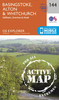
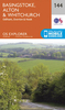

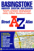

Basingstoke Street Atlas
Basingstoke Street Atlas at 1:19, 000 / 3.33 to a mile, in an indexed, glove box size paperback format, with national grid referencing. Street atlas covers Basingstoke, Andover, Overton, Whitchurch, Bramley, Chineham, Hartley Witney, Hook, Long Sutton, North Waltham, Oakley, Odiham and Sheffield on Loddon.. Motorways, A roads, B roads, dual carriageways, one way streets, pedestrianized/restricted access roads and car parks are shown. The run of street numbers on A and B roads is also indicated. Tracks and footpaths are mapped, as are selected cycleways, railways, stations, level crossings and rail bridges. Colour coding distinguishes land use, e.g. shopping centre, educational establishment or industrial building. Post offices, churches, tourist information
centres and emergency services are located, as are public toilets with and without disabled access. Post town and postcode boundaries are demarcated and the atlas is indexed by street name and places of particular interest.Current edition of this atlas - 2007
centres and emergency services are located, as are public toilets with and without disabled access. Post town and postcode boundaries are demarcated and the atlas is indexed by street name and places of particular interest.Current edition of this atlas - 2007
Product Description
Reviews/Comments
Add New
Intelligent Comparison
Archived Product
Bangalore Street Atlas Stanfords
£10.95
Archived Product
Darlington Street Atlas Stanfords
£4.50
Archived Product
Warrington Street Atlas Stanfords
£4.95
Archived Product
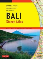
Bali Street Atlas Stanfords
£12.99
Archived Product
Taunton Street Atlas Stanfords
£3.95
Archived Product
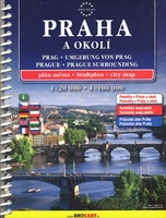
Prague Street Atlas Stanfords
£15.99
Archived Product
Hampshire Street Atlas Stanfords
£11.95
Archived Product
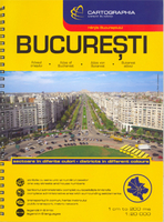
Bucharest Street Atlas Stanfords
£16.95
Vouchers
No voucher codes found.
Do you know a voucher code for this product or supplier? Add it to Insights for others to use.
Do you know a voucher code for this product or supplier? Add it to Insights for others to use.
 Denmark