
 United Kingdom
 France
 Germany
 Netherlands
 Sweden
 USA
USA
 Italy
Italy
 Spain
Spain
More From Contributor


Ukraine - Moldova F&B
Ukraine and Moldova with eastern Romania, on a large, indexed road map with street plans of central Kiev and Chisinau. Place names are in Roman alphabet, with main towns also given in Cyrillic.Road network includes local roads and cart tracks and shows driving distances on main routes and locations of border crossings. Railways and local airports are shown, as well as internal administrative boundaries with names of the provinces. National parks or protected areas are marked and main places of interest highlighted. Topographic information is limited to names of main mountain and hill ranges and selected spot heights.The map has latitude and longitude lines at intervals of 1º. Multilingual map legend includes English. Index of localities is in a separate booklet attached to the map
cover and lists locations in each country separately, including places in the adjoining areas of neighbouring countries. The booklet also includes plans of central Kiev and Chishinau.
cover and lists locations in each country separately, including places in the adjoining areas of neighbouring countries. The booklet also includes plans of central Kiev and Chishinau.

Product Description
Reviews/Comments
Add New
Intelligent Comparison
Archived Product
Ukraine - Moldova Stanfords
£8.95
Archived Product

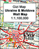
Ukraine - Moldova Gizi Map Stanfords
£9.99
Archived Product
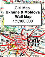
Ukraine - Moldova Wall Map Stanfords
£13.50
Archived Product
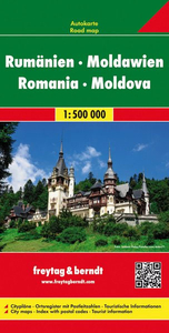
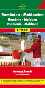
Romania - Moldova F&B Stanfords
£10.99
Archived Product
Romania - Moldova F&B Stanfords
£10.99
Vouchers
No voucher codes found.
Do you know a voucher code for this product or supplier? Add it to Insights for others to use.
Do you know a voucher code for this product or supplier? Add it to Insights for others to use.
 Denmark