
 United Kingdom
 France
 Germany
 Netherlands
 Sweden
 USA
USA
 Italy
Italy
 Spain
Spain
More From Contributor


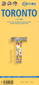
Toronto Borch
Laminated double-sided map of Toronto with enlargements of selected areas.The main map of Toronto (at 1:17, 500 scale) shows all roads, with expressways and one-way roads clearly marked. Street map detail includes skyscrapers, public buildings, hotels, department stores, parks, gardens, railway and subway lines and stations and ferry links. Symbols denote information centres, churches, beaches, museums, temples, sports facilities, embassies, theatres, sites of interest, car parks, bus stations, post offices and much more. The top 30 sights as selected by Borch are marked both and the map and on a separate legend.There are enlargements of: Niagra Falls (1:25, 000 scale); Toronto and outlying region (1:500, 000); Toronto Islands (1:20, 000); and the beaches of Toronto
(1:17, 500).There are also insets showing Canadian administrative boundaries and time zones, general information on Toronto, a map of public transport networks.The map comes fully-indexed.
(1:17, 500).There are also insets showing Canadian administrative boundaries and time zones, general information on Toronto, a map of public transport networks.The map comes fully-indexed.

Product Description
Reviews/Comments
Add New
Intelligent Comparison
Archived Product

Toronto Noir Stanfords
£12.99
Archived Product
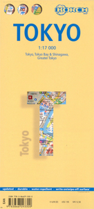
Tokyo Borch Stanfords
£8.99
Archived Product
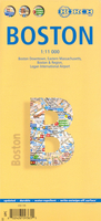
Boston Borch Stanfords
£8.99
Archived Product
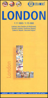
London Borch Stanfords
£8.99
Vouchers
No voucher codes found.
Do you know a voucher code for this product or supplier? Add it to Insights for others to use.
Do you know a voucher code for this product or supplier? Add it to Insights for others to use.
 Denmark