
 United Kingdom
 France
 Germany
 Netherlands
 Sweden
 USA
USA
 Italy
Italy
 Spain
Spain
More From Contributor


Southport Central 1909
Southport Central in 1909 in a fascinating series of reproductions of old Ordnance Survey plans in the Alan Godfrey Editions, ideal for anyone interested in the history of their neighbourhood or family.The map covers the central area of Southport, extending from Westcliffe Road northward to Avondale Road, and from Chapel Street station westward to the shore. Features include most of the pier, Marine Drive, Chapel Street station, Lord Street station, Victoria Park, Market Hall, tramways, recreation ground, Opera House, Convalescent Hosptial, Hydro, Victoria Baths, Lord Street, St Paul`s church, St Andrew`s church, Town Hall, hotels, Christ Church, Winter Gardens, etc. Sheet 75.05 to the north is included as an inset. On the reverse is an extract from an Inch to the
Mile map for the area, covering Southport northward to Lytham, and southward to Formby, from the mid 19th century.About the Alan Godfrey Editions of the 25” OS Series:Selected towns in Great Britain and Ireland are covered by maps showing the extent of urban development in the last decades of the 19th and early 20th century. The plans have been taken from the Ordnance Survey mapping and reprinted at about 15 inches to one mile (1:4, 340). On the reverse most maps have historical notes and many also include extracts from contemporary directories. Most maps cover about one mile (1.6kms) north/south, one and a half miles (2.4kms) across; adjoining sheets can be combined to provide wider coverage.FOR MORE INFORMATION AND A COMPLETE LIST OF ALL AVAILABLE TITLES PLEASE CLICK ON THE SERIES
LINK.

Product Description
Reviews/Comments
Add New
Intelligent Comparison
Archived Product

Southport East 1909 Stanfords
£3.50
Archived Product
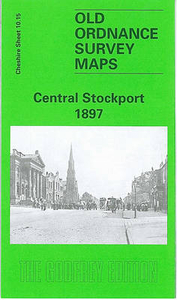
Stockport Central 1897 Stanfords
£3.50
Archived Product

Southport North 1909 Stanfords
£3.50
Archived Product
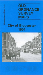
Gloucester Central 1901 Stanfords
£3.50
Vouchers
No voucher codes found.
Do you know a voucher code for this product or supplier? Add it to Insights for others to use.
Do you know a voucher code for this product or supplier? Add it to Insights for others to use.
 Denmark