
 United Kingdom
 France
 Germany
 Netherlands
 Sweden
 USA
USA
 Italy
Italy
 Spain
Spain
More From Contributor


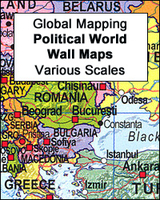
Europe: Global Mapping Political Wall Map ENCAPSULATED
Clear 134x100cm political map of Europe, covering the continent as far as the Urals and the Caucasus to the east and showing some of the coast of Northern Africa to the south. The map shows major roads and railways and some physical detail.A map of the EU member states, with 2004 additions and countries still awaiting admission is given in an inset. Also included is a map of spoken languages and a list of countries with flags, time zone, population and international dialling code.
Product Description
Reviews/Comments
Add New
Intelligent Comparison
Archived Product
Europe: Global Mapping Political Wall Map PAPER Stanfords
£10.99
Archived Product
Europe: Global Mapping Political Wall Map PAPER Stanfords
£10.99
Archived Product
World Global Mapping Political Wall Map LARGE ENCAPSULATED Stanfords
£24.99
Archived Product
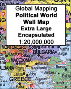
World Global Mapping Political Wall Map X-LARGE ENCAPSULATED Stanfords
£39.99
Archived Product
Australasia Political Wall Map: ENCAPSULATED Stanfords
£28.95
Archived Product

World Global Mapping Political Wall Map LARGE PAPER Stanfords
£11.99
Archived Product
Europe Maps International Political Wall Map LARGE ENCAPSULATED Stanfords
£28.99
Archived Product

South America Global Mapping Political Wall Map PAPER Stanfords
£9.99
Vouchers
No voucher codes found.
Do you know a voucher code for this product or supplier? Add it to Insights for others to use.
Do you know a voucher code for this product or supplier? Add it to Insights for others to use.
 Denmark