
 United Kingdom
 France
 Germany
 Netherlands
 Sweden
 USA
USA
 Italy
Italy
 Spain
Spain
More From Contributor


Blue Guides Dublin
Dublin in the Blue Guides series focuses primarily on cultural tourism for the visitor who wishes to understand more of what they might see and, as such, the title provides thorough and objective reference information covering art, history and architecture. The guide features illustrations aimed to inform rather than just decorate, such as maps, diagrams, floor plans, architectural details and photographs. Cross referenced indexing means information is accessible and layout navigable. Selective listings of restaurants and accommodation are chosen in the belief that good, practical recommendations will contribute to the enjoyment of good art and culture.

Product Description
Reviews/Comments
Add New
Intelligent Comparison
Archived Product

Blue Guides China Stanfords
£19.99
Archived Product
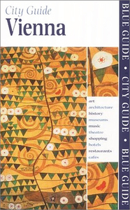
Blue Guides Vienna Stanfords
£12.99
Archived Product

Blue Guides Stanfords
£6.95
Archived Product

Blue Guides Hungary Stanfords
£14.99
Archived Product
Blue Guides Tuscany Stanfords
£18.00
Archived Product

Blue Guides India Stanfords
£19.95
Archived Product
Blue Guides Istanbul Stanfords
£14.95
Archived Product
Blue Guides Sweden Stanfords
£15.99
Vouchers
No voucher codes found.
Do you know a voucher code for this product or supplier? Add it to Insights for others to use.
Do you know a voucher code for this product or supplier? Add it to Insights for others to use.
 Denmark