
 United Kingdom
 France
 Germany
 Netherlands
 Sweden
 USA
USA
 Italy
Italy
 Spain
Spain
More From Contributor


Algeria (Road Edition)
A detailed general map with relief depicted by hill-shading. The map is indexed and selected location names are written in Arabic as well as standard roman text. Coverage includes neighbouring Tunisia and most of Morocco. Terrain features such as sand deserts, stone deserts, salt flats, water holes and swamps are distinguished, and selected peak heights are indicated. Bathymetric tinting is also applied.Several categories of roads are distinguished, including selected tracks, with intermediate driving distances marked on many routes. Railways, oil and gas piplines, and administrative boundaries are drawn and symbols denote oil & gas production sites, airports, ports, places of worship, campsites, hostels, beach resorts, oases, lighthouses, forts, museums, UNESCO sites
and other antiquities and sites of interest. Lines of latitude and longitude are drawn at 1
and other antiquities and sites of interest. Lines of latitude and longitude are drawn at 1
Product Description
Reviews/Comments
Add New
Intelligent Comparison
Archived Product

Algeria (Road Edition) Stanfords
£9.99
Archived Product
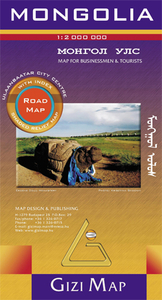
Mongolia (Road Edition) Stanfords
£9.99
Archived Product
Algeria Road Edition Wall Map Stanfords
£13.50
Archived Product
Algeria (Geographical Edition) Stanfords
£9.99
Archived Product

Tibet (Road Edition) Stanfords
£9.99
Archived Product
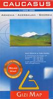
Caucasus (Road Edition) Stanfords
£9.99
Vouchers
No voucher codes found.
Do you know a voucher code for this product or supplier? Add it to Insights for others to use.
Do you know a voucher code for this product or supplier? Add it to Insights for others to use.
 Denmark