
 United Kingdom
 France
 Germany
 Netherlands
 Sweden
 USA
USA
 Italy
Italy
 Spain
Spain
More From Contributor


Athlone West 1912
Athlone West in 1912 in a fascinating series of reproductions of old Ordnance Survey plans in the Alan Godfrey Editions, ideal for anyone interested in the history of their neighbourhood or family. The map covers the western half of Athlone, stretching from the Town Bridge westward to Bellaugh and the county boundary. Features include Shannon Bridge, Town Bridge, Barracks, Infantry Square, railway with Midland Great Western station, engine shed, junction with Mayo Branch, Ranelagh School, Fort Hill, Gallows Hill, Grand Canal Store, Father Mathew Hall, Shannon Saw Mills, Woollen factories, Union Workhouse, St Kieran`s Terrace, Connaught Street area, Cavalry Square, Bellaugh, Bogganfin area, Monksland area, etc. Note that the Roscommon area to the west is left blank.
On the reverse are extracts from the 1914 rate books for Connaught Street, King Street and Queen Street.About the Alan Godfrey Editions of the 25” OS Series:Selected towns in Great Britain and Ireland are covered by maps showing the extent of urban development in the last decades of the 19th and early 20th century. The plans have been taken from the Ordnance Survey mapping and reprinted at about 15 inches to one mile (1:4, 340). On the reverse most maps have historical notes and many also include extracts from contemporary directories. Most maps cover about one mile (1.6kms) north/south, one and a half miles (2.4kms) across; adjoining sheets can be combined to provide wider coverage.FOR MORE INFORMATION AND A COMPLETE LIST OF ALL AVAILABLE TITLES PLEASE CLICK ON THE SERIES LINK.
On the reverse are extracts from the 1914 rate books for Connaught Street, King Street and Queen Street.About the Alan Godfrey Editions of the 25” OS Series:Selected towns in Great Britain and Ireland are covered by maps showing the extent of urban development in the last decades of the 19th and early 20th century. The plans have been taken from the Ordnance Survey mapping and reprinted at about 15 inches to one mile (1:4, 340). On the reverse most maps have historical notes and many also include extracts from contemporary directories. Most maps cover about one mile (1.6kms) north/south, one and a half miles (2.4kms) across; adjoining sheets can be combined to provide wider coverage.FOR MORE INFORMATION AND A COMPLETE LIST OF ALL AVAILABLE TITLES PLEASE CLICK ON THE SERIES LINK.
Product Description
Reviews/Comments
Add New
Intelligent Comparison
Archived Product
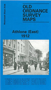
Athlone East 1912 Stanfords
£3.50
Archived Product
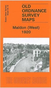
Maldon West 1920 Stanfords
£3.50
Archived Product
Denton West 1916 Stanfords
£2.95
Archived Product

Denton West 1916 Stanfords
£3.50
Vouchers
No voucher codes found.
Do you know a voucher code for this product or supplier? Add it to Insights for others to use.
Do you know a voucher code for this product or supplier? Add it to Insights for others to use.
 Denmark