
 United Kingdom
 France
 Germany
 Netherlands
 Sweden
 USA
USA
 Italy
Italy
 Spain
Spain
More From Contributor


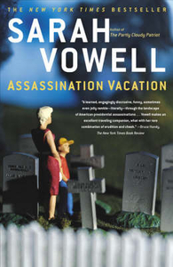
Assassination Vacation
Transporting us from Buffalo to Alaska, Washington to Key West, Vowell has crafted a narrative that is much more than a historical travelogue - it is the disturbing and mesmerising story of how American death has been manipulated by popular culture, including film, literature, and - the author`s favourite - historical tourism. Skilfully belying the undercurrents of loss and violence that course through her journey, Vowell injects a range of lighter detours along the way, including mummies, show tunes, mean-spirited totem poles, a nineteenth-century biblical sex cult - and exactly how Lincoln`s Republican Party became Bush`s Republican Party. Assassination Vacation is a fascinating, informative, and richly entertaining look at the myriad ways in which political assassinations
have altered and shaped our nation`s history.
have altered and shaped our nation`s history.

Product Description
Reviews/Comments
Add New
Vouchers
No voucher codes found.
Do you know a voucher code for this product or supplier? Add it to Insights for others to use.
Do you know a voucher code for this product or supplier? Add it to Insights for others to use.
 Denmark