
 United Kingdom
 France
 Germany
 Netherlands
 Sweden
 USA
USA
 Italy
Italy
 Spain
Spain
More From Contributor


Albania
Albania at 1:220, 000on an indexed, waterproof and tear-resistant road map with topographic and tourist information. The map, published by Reise Know-How as part of their highly acclaimed World Mapping Project, is double-sided to provide the best balance between a good scale and a convenient size sheet.Road and rail networks are easy to see on a clear base which presents topography by altitude colouring with contours, spot heights, mountain passes and names of mountain ranges, swamps, salt pans and sand dunes. Road network includes local roads and tracks, indicates scenic routes and gives driving distances on main and some secondary roads. Internal administrative boundaries are shown with names of the provinces. National parks and protected areas are marked and symbols highlight
various places of interest, including campsites, UNESCO world heritage sites, archaeological remains, castles and churches, museums, viewpoints, beaches, etc. The map has a grid with latitude and longitude at intervals of 10
various places of interest, including campsites, UNESCO world heritage sites, archaeological remains, castles and churches, museums, viewpoints, beaches, etc. The map has a grid with latitude and longitude at intervals of 10
Product Description
Reviews/Comments
Add New
Intelligent Comparison
Archived Product
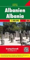
Albania F&B Stanfords
£10.99
Archived Product
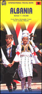
Albania ITMB Stanfords
£9.99
Archived Product

Albi Stanfords
£8.99
Archived Product
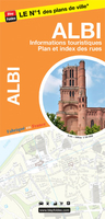
Albi Stanfords
£6.99
Archived Product
Alobaca Stanfords
£17.99
Archived Product
Abancay Stanfords
£29.95
Archived Product
Alexandria Stanfords
£25.00
Vouchers
No voucher codes found.
Do you know a voucher code for this product or supplier? Add it to Insights for others to use.
Do you know a voucher code for this product or supplier? Add it to Insights for others to use.
 Denmark