
 United Kingdom
 France
 Germany
 Netherlands
 Sweden
 USA
USA
 Italy
Italy
 Spain
Spain
More From Contributor


China Wall Map PAPER
China wall map at 1:4, 750, 000, size 120 x 88cm (47 x 35 approx) - paper version, from Gizi Maps, showing the topography by bright altitude coloring, road and rail networks, etc. Administrative boundaries are marked and also presented on a separate inset.The map shows the country
Product Description
Reviews/Comments
Add New
Intelligent Comparison
Archived Product
China NGS Classic Wall Map PAPER Stanfords
£12.99
Archived Product

Costa Rica NGS Wall Map PAPER Stanfords
£16.99
Archived Product

World Michelin Wall Map PAPER Stanfords
£14.99
Archived Product
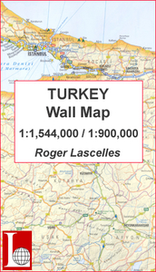
Turkey Wall Map PAPER Stanfords
£11.00
Archived Product

Hawaii NGS Wall Map PAPER Stanfords
£10.99
Archived Product
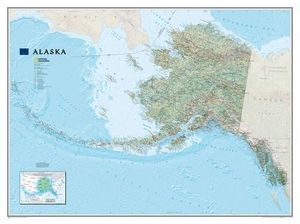
Alaska NGS Wall Map PAPER Stanfords
£17.99
Archived Product
Milky Way NGS Wall Map PAPER Stanfords
£16.99
Vouchers
No voucher codes found.
Do you know a voucher code for this product or supplier? Add it to Insights for others to use.
Do you know a voucher code for this product or supplier? Add it to Insights for others to use.
 Denmark