
 United Kingdom
 France
 Germany
 Netherlands
 Sweden
 USA
USA
 Italy
Italy
 Spain
Spain
More From Contributor


Castleford 1905
Castleford in 1905 in a fascinating series of reproductions of old Ordnance Survey plans in the Alan Godfrey Editions, ideal for anyone interested in the history of their neighbourhood or family. The map covers the centre of the town and the area to the north. The River Aire winds through it and two significant factories are on its banks: Aire & Calder Chemical Works and Aire & Calder Bottle Works. The Castleford Cut canal is shown with Castleford Locks and Bulholme Lock. Features include Market Hall, cemetery, Carlton Street, All Saints church, tramways in town centre, Church Street, Bank Street, railways (but not station) including part of Whitwood Branch, Methley Road, Allerton Ings, Ledston Ings, Red Hill Brick Works, Healdfield Brick Works, Castleford Ings, Wheldale
Ings, Wheldale Basin and railway siding, Wheldale Collieries, Castleford Bridge, etc. The site of the Roman Camp of Legeolium is also on the map. Extracts from a contemporary directory include a list of private residents and the commercial directory A to G.About the Alan Godfrey Editions of the 25” OS Series:Selected towns in Great Britain and Ireland are covered by maps showing the extent of urban development in the last decades of the 19th and early 20th century. The plans have been taken from the Ordnance Survey mapping and reprinted at about 15 inches to one mile (1:4, 340). On the reverse most maps have historical notes and many also include extracts from contemporary directories. Most maps cover about one mile (1.6kms) north/south, one and a half miles (2.4kms) across;
adjoining sheets can be combined to provide wider coverage.FOR MORE INFORMATION AND A COMPLETE LIST OF ALL AVAILABLE TITLES PLEASE CLICK ON THE SERIES LINK.

Product Description
Reviews/Comments
Add New
Intelligent Comparison
Archived Product
Camelford 1905 Stanfords
£3.50
Archived Product
Coleford 1920 Stanfords
£3.50
Archived Product
Dartford 1905 Stanfords
£2.95
Archived Product
Dartford 1905 Stanfords
£3.50
Archived Product
Castleton 1908 Stanfords
£2.95
Archived Product
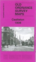
Castleton 1908 Stanfords
£3.50
Archived Product

Catford 1914 Stanfords
£3.50
Archived Product
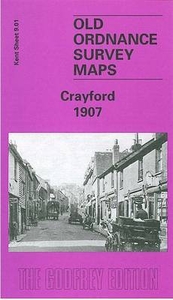
Crayford 1907 Stanfords
£3.50
Vouchers
No voucher codes found.
Do you know a voucher code for this product or supplier? Add it to Insights for others to use.
Do you know a voucher code for this product or supplier? Add it to Insights for others to use.
 Denmark