
 United Kingdom
 France
 Germany
 Netherlands
 Sweden
 USA
USA
 Italy
Italy
 Spain
Spain
More From Contributor


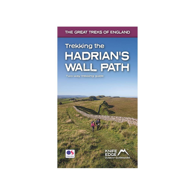
Trekking The Hadrian's Wall Path - Two-way Trekking Guide
Hadrian’s Wall was one of the Romans’ most ambitious structures. When completed, it ran for 73 miles between the west and east coasts of Northern England. It crossed the crags and hills of some of Britain’s wildest and most beautiful terrain. The Hadrian’s Wall path is one of England’s official ‘National Trails’. It leads you on an unforgettable journey of discovery along the route of the Wall. Discover the incredible surviving sections of the Wall and its forts, milecastles and turrets. This definitive two-way guide to the Hadrian’s Wall Path contains real OS mapping at 1:25, 000 and both eastbound and westbound routes are described in full. There are 14 different itineraries with schedules of 3, 4, 5, 6, 7, 8 and 9 days for walkers and runners and the guide
includes both northbound and southbound itineraries. Difficult calculations of time, distance and altitude gain are done for you. What's inside: Extraordinary detail on the history and construction of Hadrian’s Wall Section on the unmissable forts of Hadrian’s Wall Detailed information on equipment and travelling light Everything the trekker needs to know: route, costs, difficulty, weather, travel, and more Full accommodation listings: the best inns, B&Bs and hotels Information for both self-guided and guided trekkers Numbered waypoints linking the Real Maps to our clear descriptions About the author Andrew McCluggage is an outdoor writer/photographer. He is from Ireland and has been a keen mountain walker all his life. He has been trekking in the Alps for over two decades.
includes both northbound and southbound itineraries. Difficult calculations of time, distance and altitude gain are done for you. What's inside: Extraordinary detail on the history and construction of Hadrian’s Wall Section on the unmissable forts of Hadrian’s Wall Detailed information on equipment and travelling light Everything the trekker needs to know: route, costs, difficulty, weather, travel, and more Full accommodation listings: the best inns, B&Bs and hotels Information for both self-guided and guided trekkers Numbered waypoints linking the Real Maps to our clear descriptions About the author Andrew McCluggage is an outdoor writer/photographer. He is from Ireland and has been a keen mountain walker all his life. He has been trekking in the Alps for over two decades.


Product Description
Reviews/Comments
Add New
Intelligent Comparison
Available
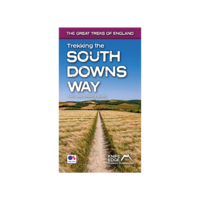
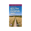
Trekking The South Downs Way - Two-way Trekking Guide Ordnance Survey
£14.99
Vouchers
No voucher codes found.
Do you know a voucher code for this product or supplier? Add it to Insights for others to use.
Do you know a voucher code for this product or supplier? Add it to Insights for others to use.
 Denmark