
 United Kingdom
 France
 Germany
 Netherlands
 Sweden
 USA
USA
 Italy
Italy
 Spain
Spain
More From Contributor

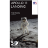


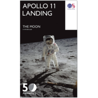
The Moon: 50th Anniversary Edition Map
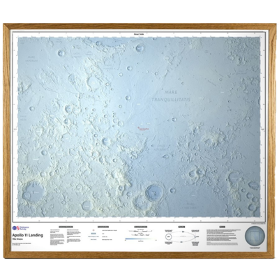
That's one small step for man; one giant leap for mankind. Ordnance Survey have created this map of the moon using a height data made available by NASA, captured by the Lunar Orbiter laser Altimeter (LOLA) and the Kaguya Terrain Camera, and then shaded to show the heights. Available as a folded map, a rolled poster, a stretched canvas (unframed), a framed canvas, and a glazed framed version. Folded map display has Neil Armstrong on the cover. Canvas and framed options will take an extra 7 - 10 days to prepare before delivery, as they are hand-made to order. They will be delivered by courier.


Product Description
Reviews/Comments
Add New
Intelligent Comparison
Available
The Moon: 50th Anniversary Edition Map Ordnance Survey
£15.99
Vouchers
No voucher codes found.
Do you know a voucher code for this product or supplier? Add it to Insights for others to use.
Do you know a voucher code for this product or supplier? Add it to Insights for others to use.
 Denmark