The OS Explorer map of St Austell & Liskeard is a must-have companion for your next trip to the area. Explore St Austell Liskeard, Lostwithiel, & Bodmin. Beautiful views can be seen from St Austel bay, all along the coast looking out to the English Channel. Some highlights of this map include Looe Harbour, Carnglaze Caverns, & Bodmin Moor. The latter being an AONB, a heather covered upland granite moor still grazed by moorland ponies. Our Explorer maps are perfect for day-tripping, extensive hikes, & cycling. They come in both standard & Weatherproof Active — so you'll never get caught out in a storm. This map also comes with a free digital download, so you can access it across your devices, making for a convenient companion. Publication Date: 16/09/2015 ...
Available
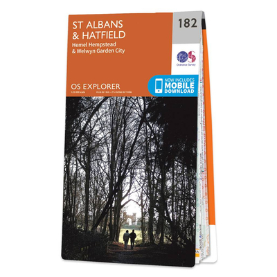
Ordnance Survey Map Of St Albans & Hatfield
Map of St Albans & Hatfield - OS Explorer Map 182 (Hemel Hempstead & Welwyn Garden City) Publication Date: 16/09/2015
Navigate your world with confidence with Ordnance Survey (https://shop.ordnancesurvey.co.uk/)! Explore our extensive range of maps, guides, and outdoor gear designed to help you explore the great outdoors with ease. From detailed maps for hiking and cycling to innovative GPS devices, we've got everything you need to plan your next adventure. With our heritage of accuracy and reliability, Ordnance Survey is your trusted companion for exploring the UK's landscapes, whether you're a seasoned explorer or a weekend wanderer. Gear up and discover new horizons with Ordnance Survey today!
Page Updated: 2024-03-04 13:47:34
Community Generated Product Tags
Oh No! The productWIKI community hasn't generated any tags for this product yet!