More From Contributor

£16.99
The OS Explorer map of South Pembrokeshire is a must-have when visiting the West Coast of Wales. South Pembrokeshire is a favourite among families — & people of all ages, due to its sandy beaches & popular seaside towns such as Tenby. There is an abundance of attractions like the Oakwood Theme Park, Folly Farm — as well as castles such as Picton, Pembroke, Manorbier, & Carew. Other highlights include: The Pembrokeshire Coast National path, The knight's Way, Milford Haven, Pembroke, & Haverfordwest. Our Explorer maps are perfect for day-tripping, extensive hikes, & cycling they come in both standard & Weatherproof Active, so you'll never get caught out in a storm. Publication Date: 10/06/2015 ...
Available
£12.99
The OS Explorer map of South Pennines, including Burnley, Hebden Bridge, Keighley, & Todmorden.OL21 a must-have when visiting this wuthering landscape. A picturesque place as if pulled from a fairytale; steep valleys, heather covered moorlands, canals, & packhorse trails. Truly a breathtaking & aspiring area. Some of the highlights on this map include Pennine way & Calderdale Way — the highest peak is Lad Law at 517m. Our Explorer maps are perfect for day-tripping, extensive hikes, & cycling they come in both standard & Weatherproof Active, so you'll never get caught out in a storm. Publication Date: 10/06/2015 ...
Available
£16.99
The OS Explorer map of South Pennines, including Burnley, Hebden Bridge, Keighley, & Todmorden.OL21 a must-have when visiting this wuthering landscape. A picturesque place as if pulled from a fairytale; steep valleys, heather covered moorlands, canals, & packhorse trails. Truly a breathtaking & aspiring area. Some of the highlights on this map include Pennine way & Calderdale Way — the highest peak is Lad Law at 517m. Our Explorer maps are perfect for day-tripping, extensive hikes, & cycling they come in both standard & Weatherproof Active, so you'll never get caught out in a storm. Publication Date: 10/06/2015 ...
Available
£12.99
The Landranger map of South Skye & Cuillin Hills is a must-have for your next trip to the area. Landranger maps are perfect for extensive hikes, cycling, & driving holidays. Ideal for planning days out or holidays to the South Skye & Cuillin hills. The area is perfect for long distance hill walking, sightseeing, & diving. Popular places to visit are Ord Bay, Ardvasar, Dunsgathaich Castle, & Scalpay. Our Landranger maps come in standard or Weatherproof Active, you'll also receive a free download for your devices — making for a convenient companion. Publication Date: 24/02/2016 ...
Available
£16.99
The Landranger map of South Skye & Cuillin Hills is a must-have for your next trip to the area. Landranger maps are perfect for extensive hikes, cycling, & driving holidays. Ideal for planning days out or holidays to the South Skye & Cuillin hills. The area is perfect for long distance hill walking, sightseeing, & diving. Popular places to visit are Ord Bay, Ardvasar, Dunsgathaich Castle, & Scalpay. Our Landranger maps come in standard or Weatherproof Active, you'll also receive a free download for your devices — making for a convenient companion. Publication Date: 24/02/2016 ...
Available
£12.99
Map of Southend-on-Sea & Basildon
- OS Explorer Map 175 (Brentwood & Billericay) Publication Date: 22/11/2018 ...
Available
£16.99
Map of Southend-on-Sea & Basildon
- OS Explorer Map 175 (Brentwood & Billericay) Publication Date: 22/11/2018 ...
Available
£12.99
Map of Southport & Chorley
- OS Explorer Map 285 (Wigan, Formby & Ormskirk) Format: Folded map Physical

Size:


...
Available
£16.99
Map of Southport & Chorley
- OS Explorer Map 285 (Wigan, Formby & Ormskirk) Format: Folded map Physical

Size:


...
Available
£12.99
Map of Southwold & Bungay
- OS Explorer Map 231 (Halesworth & Kessingland) Publication Date: 16/09/2015 ...
Available

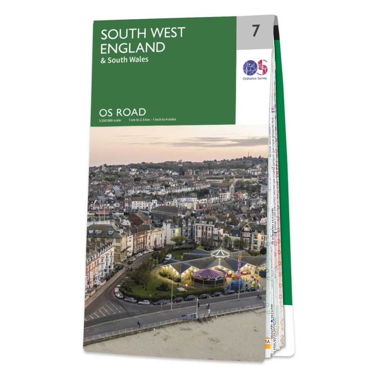
Ordnance Survey Map Of South West England

OS Road 7: South West England Mapping updated in 2020 Ideal for planning long distance journeys Handy back-up to your satnav Quickly find alternative routes in heavy traffic Detailed map symbols and contouring Format: Folded map
Availability: In Stock
£7.99

Product Description

OS Road 7: South West England Mapping updated in 2020 Ideal for planning long distance journeys Handy back-up to your satnav Quickly find alternative routes in heavy traffic Detailed map symbols & contouring Format: Folded map

Reviews/Comments

Add New

Price History

Vouchers

No voucher codes found.
Do you know a voucher code for this product or supplier? Add it to Insights for others to use.

Facebook

Jargon Buster

England - A country within the United Kingdom.
heavy - A concept of weight indicating an item may require some effort to lift or move
Road - a manmade lane or a path that is used to speed up travel.
Alternative - Another available choice or possibility
Ideal - Something that satisfies a perfect criteria.

Supplier Information

Ordnance Survey
Navigate your world with confidence with Ordnance Survey (https://shop.ordnancesurvey.co.uk/)! Explore our extensive range of maps, guides, and outdoor gear designed to help you explore the great outdoors with ease. From detailed maps for hiking and cycling to innovative GPS devices, we've got everything you need to plan your next adventure. With our heritage of accuracy and reliability, Ordnance Survey is your trusted companion for exploring the UK's landscapes, whether you're a seasoned explorer or a weekend wanderer. Gear up and discover new horizons with Ordnance Survey today!
Page Updated: 2024-03-04 13:47:34

Community Generated Product Tags

Oh No! The productWIKI community hasn't generated any tags for this product yet!
Menu