More From Contributor

£12.99
The OS Explorer map of Oxford, including Witney & Woodstock, is a must-have when planning a trip to the area. Explore the area, see the original Woodstock, & take many inspiring scenic walks. Some highlights on this map include Rivers Thame, Evenlode, Cherwell & Windrush, South-West corner of the Cotswolds, as well as part of the Thames Path & the idyllic Oxford Canal. Our Explorer maps are perfect for day-tripping, extensive hikes, & cycling. They come in both standard & Weatherproof Active — so you'll never get caught out in a storm. This map also comes with a free digital download, so you can access it across your devices, making for a convenient companion. Publication Date: 16/09/2015 ...
Available
£16.99
The OS Explorer map of Oxford, including Witney & Woodstock, is a must-have when planning a trip to the area. Explore the area, see the original Woodstock, & take many inspiring scenic walks. Some highlights on this map include Rivers Thame, Evenlode, Cherwell & Windrush, South-West corner of the Cotswolds, as well as part of the Thames Path & the idyllic Oxford Canal. Our Explorer maps are perfect for day-tripping, extensive hikes, & cycling. They come in both standard & Weatherproof Active — so you'll never get caught out in a storm. This map also comes with a free digital download, so you can access it across your devices, making for a convenient companion. Publication Date: 16/09/2015 ...
Available
£6.99
Peak District & Derbyshire OS Tour map 4. A 1:100, 000 scale tourist map showing road, rail & key tourism features. ...
Available
£16.99
Map of Peebles & Innerleithen
- OS Explorer Map 337 (Eddleston & Ettrickbridge Traquair & Yarrow) Format: Folded map Physical


...
Available
£12.99
Map of Peebles & Innerleithen
- OS Explorer Map 337 (Eddleston & Ettrickbridge Traquair & Yarrow) Format: Folded map Physical


...
Available
£16.99
Peebles, Galashiels & Selkirk (inc. Tweed Valley) map
- OS Landranger 73 Format: Folded map Physical

Size:


...
Available
£12.99
Take time to explore the lakes, spot mountain goats, or hike Scafell Pike. There are an abundance of things to do in the Penrith & Keswick area of the Lake District, & with OS mapping, finding everything on offer has never been easier. Our Landranger maps are in 1:500 000 scale, making them perfect for planning holidays & day trips. Whether you're in for an odyssey or a jaunt, OS Landranger maps are the perfect companion for the day-tripper or backpacker. Some highlights include: Helvellyn, Scafell Pike, Derwent Water, & Buttermere. Our OS Landranger series are available in 'standard paper' & 'weatherproof'. You'll also receive a free mobile download, making for the most convenient of companions. Publication Date: 30/01/2017 ...
Available
£16.99
Map of Pentland Hills
- OS Explorer Map 344 (Penicuik & West Linton) Publication Date: 16/09/2015 ...
Available
£12.99
Map of Pentland Hills
- OS Explorer Map 344 (Penicuik & West Linton) Publication Date: 16/09/2015 ...
Available

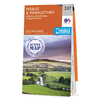
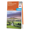
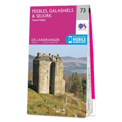
Ordnance Survey Map Of Peebles, Galashiels & Selkirk

Peebles, Galashiels & Selkirk (inc. Tweed Valley) map - OS Landranger 73 Format: Folded map Physical Size: 1000 x 890 mm (134 x 227 mm folded) Publication Date: 24/02/2016
Availability: In Stock
£12.99

Product Description

Peebles, Galashiels & Selkirk (inc. Tweed Valley) map
- OS Landranger 73 Format: Folded map Physical

Size:
1000 x 890 mm (134 x 227 mm folded) Publication Date: 24/02/2016

Reviews/Comments

Add New

Price History

Vouchers

No voucher codes found.
Do you know a voucher code for this product or supplier? Add it to Insights for others to use.

Facebook

Jargon Buster

Date - A day on a calendar
Date - A social activity whith a current or potential partner
Physical - Used to describe strength or visual properties of an item
Size - is the measurement of how big an object is in space.

Supplier Information

Ordnance Survey
Navigate your world with confidence with Ordnance Survey (https://shop.ordnancesurvey.co.uk/)! Explore our extensive range of maps, guides, and outdoor gear designed to help you explore the great outdoors with ease. From detailed maps for hiking and cycling to innovative GPS devices, we've got everything you need to plan your next adventure. With our heritage of accuracy and reliability, Ordnance Survey is your trusted companion for exploring the UK's landscapes, whether you're a seasoned explorer or a weekend wanderer. Gear up and discover new horizons with Ordnance Survey today!
Page Updated: 2024-03-04 13:47:34

Community Generated Product Tags

Oh No! The productWIKI community hasn't generated any tags for this product yet!
Menu