The Landranger map of Loch Lomond & Inverary is the perfect companion when planning a trip to the area. Landranger maps are perfect for extensive hikes, cycling, & driving holidays. Ideal for planning days out or holidays to the area nicknamed the 'gateway to the Highlands'. Inverary has a wide range of attractions on offer from Inverary Castle & Gardens, to walking in the nearby Glen Shira & Aray. Other highlights of this map include the West Highland Way, which passes along the banks of Loch Lomond in the Trossachs National Park. (The Loch itself is the largest body of fresh water in mainland Britain.) Our Landranger maps come in standard or Weatherproof Active, you'll also receive a free download for your devices — making for a convenient companion. Publication Date: 03/08/2021 ...
Map of Loch Lomond North - OS Explorer Map OL 39 (Tyndrum, Crianlarich & Arrochar) Publication Date: 14/06/2018 ...
Available
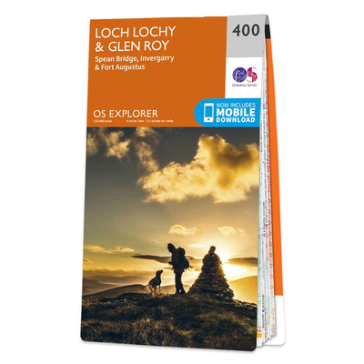
Ordnance Survey Map Of Loch Lochy & Glen Roy
Map of Loch Lochy & Glen Roy - OS Explorer Map 400 (Spean Bridge, Invergarry & Fort Augustus) Format: Folded map Physical Size: 952 x 1270 mm (133 x 240 mm folded) Publication Date: 16/09/2015
Reviews/Comments
Add New
Intelligent Comparison
Available
Ordnance Survey Map Of Dunbar & North Berwick Ordnance Survey
£16.99
Available
Ordnance Survey Map Of Loch Arkaig Ordnance Survey
£16.99
Available
Ordnance Survey Map Of Porthmadog & Dolgellau Ordnance Survey
£12.99
Available
Ordnance Survey Map Of Maidstone & Royal Tunbridge Wells Ordnance Survey
£12.99
Available
Map Of Pembroke 1896-1904 Ordnance Survey
£6.99
Archived Product
Map Of Spalding 1896-1904 Ordnance Survey
£8.99
Available
Ordnance Survey Map Of North East Norfolk Ordnance Survey
£16.99
Available
Ordnance Survey Map Of Scunthorpe & Gainsborough Ordnance Survey
£16.99
Price History
Vouchers
No voucher codes found. Do you know a voucher code for this product or supplier? Add it to Insights for others to use.
Facebook
Jargon Buster
Date - A day on a calendar
Date - A social activity whith a current or potential partner
Physical - Used to describe strength or visual properties of an item
Size - is the measurement of how big an object is in space.
Navigate your world with confidence with Ordnance Survey (https://shop.ordnancesurvey.co.uk/)! Explore our extensive range of maps, guides, and outdoor gear designed to help you explore the great outdoors with ease. From detailed maps for hiking and cycling to innovative GPS devices, we've got everything you need to plan your next adventure. With our heritage of accuracy and reliability, Ordnance Survey is your trusted companion for exploring the UK's landscapes, whether you're a seasoned explorer or a weekend wanderer. Gear up and discover new horizons with Ordnance Survey today!
Page Updated: 2024-03-04 13:47:34
Community Generated Product Tags
Oh No! The productWIKI community hasn't generated any tags for this product yet!