
 United Kingdom
 France
 Germany
 Netherlands
 Sweden
 USA
USA
 Italy
Italy
 Spain
Spain
More From Contributor


Crimson Publishing Walks In Snowdonia - Guidebook 10
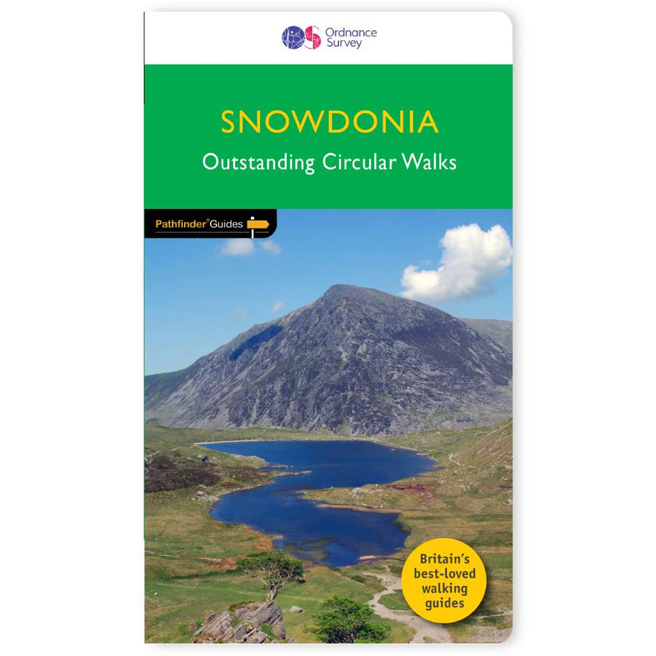
Immerse yourself 28 beautiful walks in Snowdonia with the OS Pathfinder Guidebooks, graded by length and ranging from 3 to 12 miles.The routes range from extended strolls to longer hikes, something for all levels! Each walk includes a detailed description, an OS map, GPS waypoints, and notes of key features and things to see.Highlights of this map include the stunning display of Aber Falls, the remains of Wales' industrial heritage near Tanygrisiau, the challenging Tryfan north ridge, and of course Snowdon itself.This is one of a series of books with great walking routes covering the most popular and scenic areas of Britain. Printed with weather-resistant covers featuring durable rounded corners, they are the perfect companion for country walking throughout Britain.


Product Description
Reviews/Comments
Add New
Intelligent Comparison
Available
Map Of Swansea Ordnance Survey
£8.99
Available
Frances Lincoln Publishers London Thames Path Ordnance Survey
£10.99
Archived Product
Map Of Shetland Ordnance Survey
£8.99
Available
Outwell Camper Lux Double Sleeping Bag Ordnance Survey
£116.19
Available
Ordnance Survey Stockton-on-Tees 1896-1904 Ordnance Survey
£7.19
Available
Outwell Hula Large Cool Bag Ordnance Survey
£38.49
Available
The Adventure Patch Company Tissington Trail Patch Ordnance Survey
£5.00
Available
The Adventure Patch Company Shutlingsloe Patch Ordnance Survey
£5.00
Vouchers
No voucher codes found.
Do you know a voucher code for this product or supplier? Add it to Insights for others to use.
Do you know a voucher code for this product or supplier? Add it to Insights for others to use.
 Denmark