
 United Kingdom
 France
 Germany
 Netherlands
 Sweden
 USA
USA
 Italy
Italy
 Spain
Spain
More From Contributor


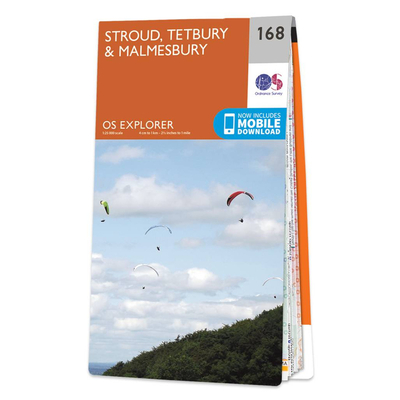
Ordnance Survey Map Of Stroud, Tetbury & Malmesbury
Map of Stroud, Tetbury & Malmesbury - OS Explorer Map 168 Format: Folded map Physical Size: 952 x 1270 mm (133 x 240 mm folded) Publication Date: 16/09/2015


Product Description
Reviews/Comments
Add New
Intelligent Comparison
Available

Gibsons Our World Jigmap 250 Piece Children's Jigsaw Puzzle Ordnance Survey
£10.19
Available
Gibsons It's A Big World 24 Piece Children's Jigsaw Puzzle Ordnance Survey
£10.19
Available

Ordnance Survey Map Of Stroud, Tetbury & Malmesbury Ordnance Survey
£16.99
Vouchers
No voucher codes found.
Do you know a voucher code for this product or supplier? Add it to Insights for others to use.
Do you know a voucher code for this product or supplier? Add it to Insights for others to use.
 Denmark