
 United Kingdom
 France
 Germany
 Netherlands
 Sweden
 USA
USA
 Italy
Italy
 Spain
Spain
More From Contributor


Map Of Hertford 1896-1904 - Framed
Discover the past with a reproduction of an historical Ordnance Survey map for Hertford. Published from 1896 to 1904, the Revised New Edition for England and Wales maps show contours, latitude and longitude, parish boundaries, railways, roads, waterways and woods in 1 inch to 1 mile scale. These reproductions are printed on high quality, 200 gram sepia toned map paper, giving an authentic look.The frame is natural medium oak, 28mm (1 inch) real wood moulding, glazed with a super-clear acrylic that's as clear as glass but lighter and safer. The map print is scaled down by 5% to fit the frameThis series of 477 historical maps was created to give accurate overview mapping for Great Britain, and was intended for military, government and leisure use, including touring and cycling.
Many of the previous edition had become very out of date so a new survey was commissioned that began in 1893, with the maps being published as they were completed.These maps are the 'Outline' versions that show contour lines and features in hand-drawn black and white, and show many of the map symbols that we are familiar with today. As well as display, they are useful for tracing family history, researching development and understanding how both natural and man-made geography has changed since the end of the Victorian age.We have maps from the 1896 to 1904 editions available for most of Great Britain, however, some are missing as the originals were destroyed when the Ordnance Survey was bombed during the Second World War. This map covers Hertford in the Revised New Edition for
England and Wales. Check the 'Area Covered' to determine what towns cities and features are shown on this map.
Product Description
Reviews/Comments
Add New
Intelligent Comparison
Available
Garmin Topo Great Britain V2 Pro 1:25K SD Card Ordnance Survey
£299.99
Available
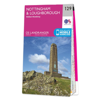
Ordnance Survey Map Of Nottingham & Loughborough Ordnance Survey
£12.99
Available
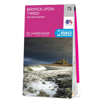
Ordnance Survey Map Of Berwick-upon-Tweed, Holy Island & Wooler Ordnance Survey
£12.99
Available
Map Of Thetford 1896-1904 Ordnance Survey
£8.99
Archived Product
Map Of Bedford 1896-1904 Ordnance Survey
£8.99
Available
Map Of Haverfordwest 1896-1904 Ordnance Survey
£8.99
Available

Ordnance Survey Map Of Orkney - West Mainland Ordnance Survey
£12.99
Available
Pathfinder More Lake District Walks Guidebook 22 Ordnance Survey
£11.04
Vouchers
No voucher codes found.
Do you know a voucher code for this product or supplier? Add it to Insights for others to use.
Do you know a voucher code for this product or supplier? Add it to Insights for others to use.
 Denmark