
 United Kingdom
 France
 Germany
 Netherlands
 Sweden
 USA
USA
 Italy
Italy
 Spain
Spain
More From Contributor


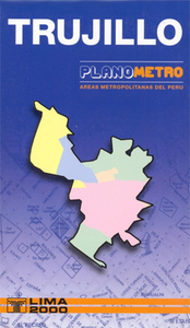
Trujillo Metro Plan
Indexed street plan map of Trujillo from Ed. Lima 2000, with additional insets on the reverse extending coverage of the main plan to include the local airport and the town of Laredo. Colours distinguish the city’s main districts, and their estate sub-divisions (urbanizaciones) are identified with block numbers marked along many of the streets. Contour lines depict the relief beyond the town’s margin, and parks or agricultural areas are indicated. Small symbols show main services and facilities. On the reverse is an index for streets, urbanizaciones, and various locations of interest. The map legend and all text are in Spanish only.

Product Description
Reviews/Comments
Add New
Vouchers
No voucher codes found.
Do you know a voucher code for this product or supplier? Add it to Insights for others to use.
Do you know a voucher code for this product or supplier? Add it to Insights for others to use.
 Denmark