
 United Kingdom
 France
 Germany
 Netherlands
 Sweden
 USA
USA
 Italy
Italy
 Spain
Spain
More From Contributor


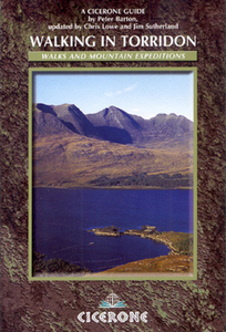
Torridon Walking
Walking in Torridon is a Cicerone guide to 52 day walks of differing grades in this area of the Scottish Highlands, including ascent routes for nine Munros, which will enable you to discover the best of remote Torridon and prepare you to range over heather, grass, rock and marsh, without paths or waymarks. Making Shieldaig its base, the book covers 200 square miles south west of Loch Maree and north of the Achnasheen-Achnashellach-Lochcarron road, as well as Slioch and its environs. The guide is illustrated with Peter Barton’s original drawings and clear Ornance Survey map extracts. Routes have introductory box summaries, giving you details of walk start and finish points, distances, durations, maximum heights, special notes and relevant OS map references.

Product Description
Reviews/Comments
Add New
Intelligent Comparison
Archived Product
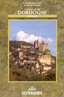
Dordogne Walking Stanfords
£14.95
Archived Product

Corsica Walking Stanfords
£14.95
Vouchers
No voucher codes found.
Do you know a voucher code for this product or supplier? Add it to Insights for others to use.
Do you know a voucher code for this product or supplier? Add it to Insights for others to use.
 Denmark