
 United Kingdom
 France
 Germany
 Netherlands
 Sweden
 USA
USA
 Italy
Italy
 Spain
Spain
More From Contributor


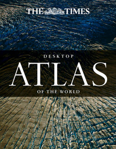
The Times Desktop Atlas Of The World
An excellent world atlas for every day use at home or work, representing broad coverage at a great price. This new edition of the Times Desktop Atlas of the World has been fully revised to bring all the maps and geographical information completely up-to-date. it features clear, authoritative Times atlas mapping providing balanced, systematic coverage of the world. Each continent is introduced by a political map showing individual countries, followed by regional maps showing towns and cities, roads, railways, international boundaries and topography. This Desktop edition includes a geographical reference section with flags, statistics and facts for the world`s states and territories, statistics and thematic world maps on major geographical themes, including population, cities,
climate, the environment and telecommunications, and 16 pages full of thousands of world facts and figures. The index features over 25, 000 entries. As with all the atlases in the Times range it offers great authority, outstanding quality and attention to detail.
climate, the environment and telecommunications, and 16 pages full of thousands of world facts and figures. The index features over 25, 000 entries. As with all the atlases in the Times range it offers great authority, outstanding quality and attention to detail.

Product Description
Reviews/Comments
Add New
Vouchers
No voucher codes found.
Do you know a voucher code for this product or supplier? Add it to Insights for others to use.
Do you know a voucher code for this product or supplier? Add it to Insights for others to use.
 Denmark