
 United Kingdom
 France
 Germany
 Netherlands
 Sweden
 USA
USA
 Italy
Italy
 Spain
Spain
More From Contributor


St. Lucia 1764
This is an early French map of St. Lucia on which settlements are marked (though these are few and far between) and headlands on the coast are named. Pictorial representations of hills and wooded areas are drawn, and a road is marked running across the interior of the island - the Chemin de la Longue Chasse ou de la Soufriere. Reproduced on on heavyweight, parchment effect paper, with a generous border area.Paper size: 35.9 x 26.2 cm (14 1/8 x 10 3/16 inches)Map size: 21.5 x 30.8 cm (12 1/8 x 8 1/16 inches)
Product Description
Reviews/Comments
Add New
Intelligent Comparison
Archived Product
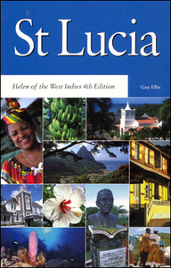
St Lucia Stanfords
£10.75
Vouchers
No voucher codes found.
Do you know a voucher code for this product or supplier? Add it to Insights for others to use.
Do you know a voucher code for this product or supplier? Add it to Insights for others to use.
 Denmark