
 United Kingdom
 France
 Germany
 Netherlands
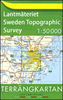
 Sweden
 USA
USA
 Italy
Italy
 Spain
Spain
More From Contributor


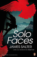
Solo Faces
Rand lives free; lean, pure and defiant, the world has little influence on him. His passion is climbing - the mountains, the huge vertical faces. There, where storms, snow, or rockfall can kill, he finds his happiness, sometimes climbing with others, sometimes alone. This is a novel of obsession and where it leads. Rand, not intending it, becomes suddenly famous for a daring rescue in the Alps. What happens when passion is spent and what becomes of heroes is revealed in this terse and powerfully written novel.

Product Description
Reviews/Comments
Add New
Intelligent Comparison
Archived Product
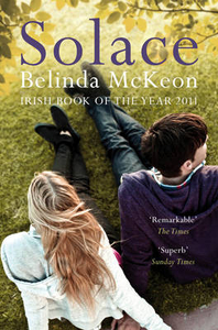
Solace Stanfords
£7.99
Vouchers
No voucher codes found.
Do you know a voucher code for this product or supplier? Add it to Insights for others to use.
Do you know a voucher code for this product or supplier? Add it to Insights for others to use.
 Denmark