
 United Kingdom
 France
 Germany
 Netherlands
 Sweden
 USA
USA
 Italy
Italy
 Spain
Spain
More From Contributor

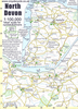

North Downs Way
The North Downs Way is the National Trail that follows Natural England's acorn waymarks from Farnham to the coast at Dover. This picturesque Trail takes in chalk ridges, river valleys and sections of the Pilgrims' Way. At the eastern end you can either walk via Canterbury (a total distance of 130 miles, 208 km) or follow the southern route (123 miles, 197 km). This is the complete, official guide for the long-distance walker or the weekend stroller. All you need is this one book. National Trail Guides are the official guidebooks to the fifteen National Trails in England and Wales and are published in association with Natural England, the official body charged with developing and maintaining the Trails.
Product Description
Reviews/Comments
Add New
Intelligent Comparison
Archived Product
North Downs Way Stanfords
£12.00
Archived Product
North Downs Way Stanfords
£14.99
Archived Product
The North Downs Way Stanfords
£16.95
Archived Product
South Downs Way Stanfords
£12.99
Archived Product
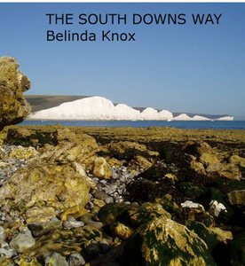
South Downs Way Stanfords
£14.99
Archived Product

South Downs Way Stanfords
£10.99
Archived Product

South Downs Way Stanfords
£14.99
Archived Product
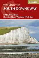
South Downs Way Stanfords
£12.95
Vouchers
No voucher codes found.
Do you know a voucher code for this product or supplier? Add it to Insights for others to use.
Do you know a voucher code for this product or supplier? Add it to Insights for others to use.
 Denmark