
 United Kingdom
 France
 Germany
 Netherlands
 Sweden
 USA
USA
 Italy
Italy
 Spain
Spain
More From Contributor


New England Easy-to-Read Rand McNally
New England Easy-to-Read map at 1:560, 000 approx. in a series of regional maps of United States from Rand McNally, with Maine on one side and Massachusetts, Connecticut, Rhode Island, Vermont and New Hampshire on the other. For clarity of road information, the road network is presented on a plain background with names and heights of peaks indicating the topography. National/state parks and other protected areas are highlighted. Road network indicates toll highways and includes unsurfaced local roads. Driving distances are marked on many local routes and scenic roads are highlighted. Symbols indicate various places of interest, including campsites. The map has no geographical coordinates. Each state has a separate index which lists locations with their population figure.Enlargements
show in greater detail the vicinity of: in Connecticut Hartford, Bridgeport and New Haven; in Maine Portland, Lewiston and Bangor; in New Hampshire Concord, Manchester and Nashua; in Rhode Island Newport and Providence; in Vermont Montpelier and Burlington; and in Massachusetts Boston with a plan of the downtown area, Worcester and Springfield. Also provided is a mileage chart, plus information on toll roads, etc.To see other titles in this series please click on the series link.+
show in greater detail the vicinity of: in Connecticut Hartford, Bridgeport and New Haven; in Maine Portland, Lewiston and Bangor; in New Hampshire Concord, Manchester and Nashua; in Rhode Island Newport and Providence; in Vermont Montpelier and Burlington; and in Massachusetts Boston with a plan of the downtown area, Worcester and Springfield. Also provided is a mileage chart, plus information on toll roads, etc.To see other titles in this series please click on the series link.+

Product Description
Reviews/Comments
Add New
Intelligent Comparison
Archived Product

Indiana Easy-to-Read Rand McNally Stanfords
£6.99
Archived Product
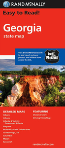
Georgia Easy-to-Read Rand McNally Stanfords
£6.99
Archived Product
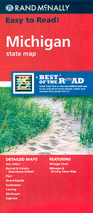
Michigan Easy-to-Read Rand McNally Stanfords
£6.99
Archived Product
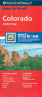
Colorado Easy-to-Read Rand McNally Stanfords
£6.99
Archived Product
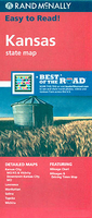
Kansas Easy-to-Read Rand McNally Stanfords
£6.99
Archived Product
Hawaii Easy-to-Read Rand McNally Stanfords
£6.99
Archived Product

Delaware & Maryland Easy-to-Read Rand McNally Stanfords
£6.99
Archived Product
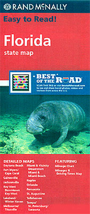
Florida Easy-to-Read Rand McNally Stanfords
£6.99
Vouchers
No voucher codes found.
Do you know a voucher code for this product or supplier? Add it to Insights for others to use.
Do you know a voucher code for this product or supplier? Add it to Insights for others to use.
 Denmark