
 United Kingdom
 France
 Germany
 Netherlands
 Sweden
 USA
USA
 Italy
Italy
 Spain
Spain
More From Contributor


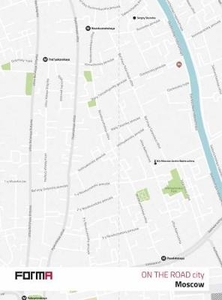
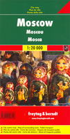
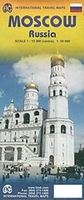
Moscow
The general map of Moscow is at approx 1:33, 000. Larger scale insets show the Pavillion Centre and The Kremlin. On the reverse is a map of the city centre at 1:20, 000, and a plan of the underground. Detail includes forests, parks, railways, tram routes, metro routes and stations, notable buildings, churchs, monuments, embassies, hotels, museums, markets, car parks, hospitals and theatres..Indexed for streets and locations of interest.

Product Description
Reviews/Comments
Add New
Intelligent Comparison
Archived Product
Moscow Stanfords
£9.99
Archived Product
Moscow Stanfords
£10.80
Archived Product
Moscow Stanfords
£10.39
Archived Product
Moscow Stanfords
£16.95
Archived Product
Moscow Stanfords
£17.00
Archived Product
Moscow F&B Stanfords
£9.99
Archived Product
Moscow ITMB Stanfords
£9.99
Archived Product
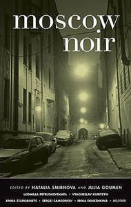
Moscow Noir Stanfords
£12.99
Vouchers
No voucher codes found.
Do you know a voucher code for this product or supplier? Add it to Insights for others to use.
Do you know a voucher code for this product or supplier? Add it to Insights for others to use.
 Denmark