
 United Kingdom
 France
 Germany
 Netherlands
 Sweden
 USA
USA
 Italy
Italy
 Spain
Spain
More From Contributor


Austria F&B Road Atlas
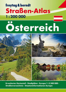
Austria Street Atlas from Freytag & Berndt at 1:200, 000. Includes city maps at 1:10, 000/1:15, 000.The maps show road network including secondary roads, indicating seasonal closures, routes closed to or not recommended for caravans, steep gradients, scenic routes, etc. Railways and main ferry routes are also marked. Symbols indicate various monuments and sights, selected campsites, etc., with places of particular interest highlighted. The maps have latitude/longitude grid at intervals of 30’. Map legend includes English. Extensive index lists all localities postcodes.

Product Description
Reviews/Comments
Add New
Vouchers
No voucher codes found.
Do you know a voucher code for this product or supplier? Add it to Insights for others to use.
Do you know a voucher code for this product or supplier? Add it to Insights for others to use.
 Denmark