
 United Kingdom
 France
 Germany
 Netherlands
 Sweden
 USA
USA
 Italy
Italy
 Spain
Spain
More From Contributor


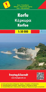
Corfu
Corfu at 1:70, 000 on a deceptively simple, hand-drawn map from the locally based cartographer S. Jaskulowski which became an unexpected bestseller in our London shop thanks to extensive tourist information provided on it.On one side is the main map of the island with colouring roughly indicating its topography. Place names are shown in both Greek and Latin alphabets. Surfaced roads are graded into five types, with additional marking for tracks requiring 4WD. No driving distances are shown on the roads but the map indicates which 42 locations are included in the accompanying distance table. Beaches are highlighted and listed in an index also placed next to the map. The map has no geographical coordinates. On the reverse are various panels with more information:An enlargement of the
island
island
Product Description
Reviews/Comments
Add New
Intelligent Comparison
Archived Product
Corfu Stanfords
£4.99
Archived Product
Corfu Stanfords
£12.99
Archived Product

Corfu Stanfords
£6.99
Archived Product
Corfu F&B Stanfords
£10.99
Vouchers
No voucher codes found.
Do you know a voucher code for this product or supplier? Add it to Insights for others to use.
Do you know a voucher code for this product or supplier? Add it to Insights for others to use.
 Denmark