
 United Kingdom
 France
 Germany
 Netherlands
 Sweden
 USA
USA
 Italy
Italy
 Spain
Spain
More From Contributor


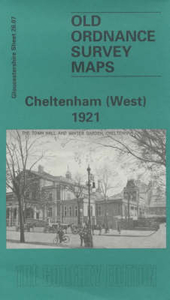
Cheltenham West 1921
Cheltenham West in 1921 in a fascinating series of reproductions of old Ordnance Survey plans in the Alan Godfrey Editions, ideal for anyone interested in the history of their neighbourhood or family. Two versions have been published for this area, with the 1883 edition in full colour, taken from the beautiful hand-coloured 1st Edition OS map. The maps cover the western half of the town, stretching from St Mary`s church and Vittoria Walk westward to Granley Road and Libertus Road. Major features include the Winter Gardens, Montpelier Gardens, The Promenade, Royal Crescent, St George`s Square, St James Square station, Malvern Road station, Lansdown station, Upper Alstone, Lower Alstone, Lansdown, Dean Close Memorial School, Sunningend Works, Lansdown Crescent, Christ
Church Road, Overton Park, St Paul`s Training College, St Mary`s Hall Training College, cemetery. On the reverse are extracts from early directories. About the Alan Godfrey Editions of the 25” OS SeriesSelected towns in Great Britain and Ireland are covered by maps showing the extent of urban development in the last decades of the 19th and early 20th century. The plans have been taken from the Ordnance Survey mapping and reprinted at about 15 inches to one mile (1:4, 340). On the reverse most maps have historical notes and many also include extracts from contemporary directories. Most maps cover about one mile (1.6kms) north/south, one and a half miles (2.4kms) across; adjoining sheets can be combined to provide wider coverage.FOR MORE INFORMATION AND A COMPLETE LIST OF ALL
AVAILABLE TITLES PLEASE CLICK ON THE SERIES LINK.

Product Description
Reviews/Comments
Add New
Intelligent Comparison
Archived Product
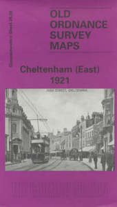
Cheltenham East 1921 Stanfords
£3.50
Archived Product
Sheringham West 1926 Stanfords
£2.95
Archived Product
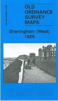
Sheringham West 1926 Stanfords
£3.50
Archived Product
Cheltenham And Cirencester 1919 Stanfords
£9.99
Vouchers
No voucher codes found.
Do you know a voucher code for this product or supplier? Add it to Insights for others to use.
Do you know a voucher code for this product or supplier? Add it to Insights for others to use.
 Denmark