
 United Kingdom
 France
 Germany
 Netherlands
 Sweden
 USA
USA
 Italy
Italy
 Spain
Spain
More From Contributor


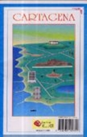
Cartagena
Very clear street map for the city. Every street is named, though many streets simply have numbers instead of names. The individual suburbs are also named. The hills overlooking the Cartagena Bay are shown with contours to give an indication of their height.

Product Description
Reviews/Comments
Add New
Intelligent Comparison
Archived Product

Carnage Stanfords
£6.99
Archived Product
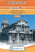
Catania Stanfords
£10.99
Archived Product

Catalina Stanfords
£7.99
Archived Product
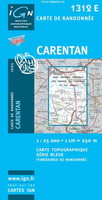
Carentan Stanfords
£11.50
Vouchers
No voucher codes found.
Do you know a voucher code for this product or supplier? Add it to Insights for others to use.
Do you know a voucher code for this product or supplier? Add it to Insights for others to use.
 Denmark